| Acre | |
|---|---|
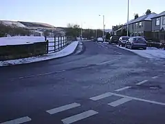
 Rising Bridge Road | |
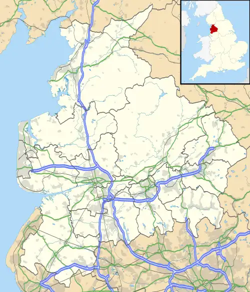
 Acre Location within Lancashire | |
| OS grid reference | SD786249 |
| District | |
| Shire county | |
| Region | |
| Country | England |
| Sovereign state | United Kingdom |
| Post town | ROSSENDALE |
| Postcode district | BB4 |
| Dialling code | 01706 |
| Police | Lancashire |
| Fire | Lancashire |
| Ambulance | North West |
| UK Parliament | |
Acre is a Victorian village situated along the A56 Blackburn Road between the village of Rising Bridge and the town of Haslingden in Rossendale Lancashire, about one mile north of Haslingden town centre. It was founded in 1861.
External links
Wikivoyage has a travel guide for Acre (England).
![]() Media related to Acre at Wikimedia Commons
Media related to Acre at Wikimedia Commons
This article is issued from Wikipedia. The text is licensed under Creative Commons - Attribution - Sharealike. Additional terms may apply for the media files.