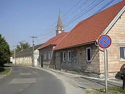
Ágfalva
Agendorf | |
|---|---|
 | |
 Flag  Coat of arms | |
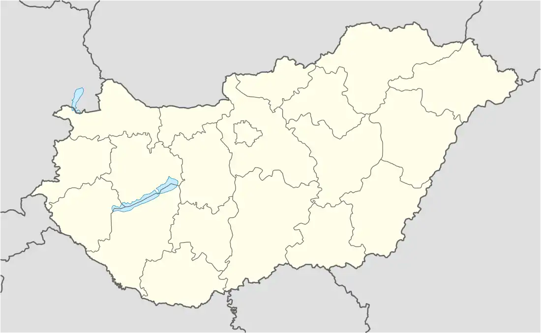 Ágfalva Location of Ágfalva | |
| Coordinates: 47°41′20″N 16°31′01″E / 47.68899°N 16.51687°E | |
| Country | |
| County | Győr-Moson-Sopron |
| Area | |
| • Total | 13.08 km2 (5.05 sq mi) |
| Population (2004) | |
| • Total | 1,956 |
| • Density | 149.54/km2 (387.3/sq mi) |
| Time zone | UTC+1 (CET) |
| • Summer (DST) | UTC+2 (CEST) |
| Postal code | 9423 |
| Area code | 99 |
Ágfalva (German: Agendorf) is a village in Hungary, in the north-western Győr-Moson-Sopron region, 4 kilometers from Sopron and two kilometers from the border of Austria.
Name
The original name of the settlement was Dág, recorded in 1194 and coming from the Hungarian personal name. In German, it was known as Dogendorf (1207). The village was first recorded as Agendorf in 1493. The prefix being identified with the word ág ('branch') and the suffix translated, this was adopted to Hungarian as Ágfalva.[1]
History
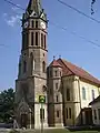
Ágfalva was first mentioned in a document from 1194. Archaeological evidence proves inhabitation at least since Roman occupation. The first church was built in 1265, it was pulled down in 1789 to be replaced by a new church, the catholic St George church (1792). The Protestants received permission to build a church in 1784. Until 1892 the service was in German.
In 1892 the railway to Brennbergbánya was constructed.
 Protestant church
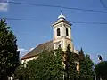 Catholic church
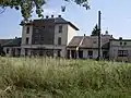 Railway station
References
- ↑ Kiss, Lajos (1980). Földrajzi nevek etimológiai szótára. Budapest: Akadémiai Kiadó. ISBN 963-05-2277-2.
Sources
- Ausflüge in der Umgebung von Sopron. Escort '63 Bt. 2004. P. 21-30
External links
- Official website
- Street map (in Hungarian)

