San Miguel de Abona | |
|---|---|
 Flag .svg.png.webp) Seal | |
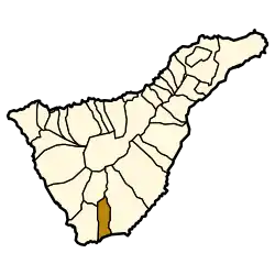 Municipal location in Tenerife | |
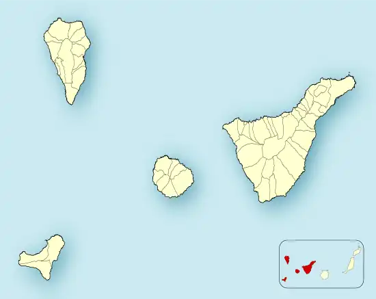 San Miguel de Abona Location in Province of Santa Cruz de Tenerife  San Miguel de Abona San Miguel de Abona (Canary Islands) 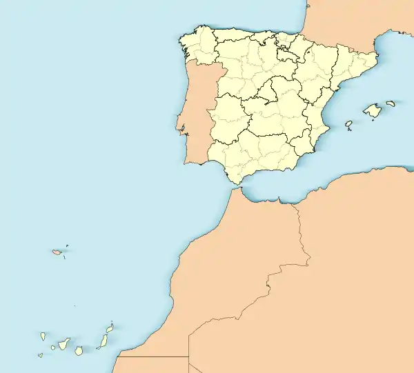 San Miguel de Abona San Miguel de Abona (Spain, Canary Islands) | |
| Coordinates: 28°6′N 16°37′W / 28.100°N 16.617°W | |
| Sovereign state | |
| Autonomous community | |
| Province | |
| Island | |
| Area | |
| • Total | 42.04 km2 (16.23 sq mi) |
| Population (2018)[2] | |
| • Total | 19,672 |
| • Density | 470/km2 (1,200/sq mi) |
| Time zone | UTC+0 (GMT) |
| Climate | Csb |
| Website | www |
San Miguel de Abona is a town and a municipality in the southern part of the island of Tenerife, one of the Canary Islands, and part of the province of Santa Cruz de Tenerife, Spain. The TF-1 motorway passes through the southern part of the municipality.
The population is 16,099 (2013[3]), its area is 42.04 km2.[1]
In the south of the municipality, on the coastline, lies the golf course and holiday/residential village of Golf del Sur. Also on the coast is Amarilla Golf & Country Club. Golf del Sur has hosted several professional golf tournaments including the Tenerife Open, the Tenerife Ladies Open.
Historical population
| Year | Population |
|---|---|
| 1991 | |
| 1996 | 5,776 |
| 2001 | 8,398 |
| 2002 | 9,174 |
| 2003 | 9,988 |
| 2004 | 10,802 |
| 2013 | 16,099 |
References
- 1 2 Instituto Canario de Estadística, area
- ↑ Municipal Register of Spain 2018. National Statistics Institute.
- ↑ Instituto Canario de Estadística Archived 2014-04-19 at the Wayback Machine, population
External links
Wikimedia Commons has media related to San Miguel de Abona.
Places adjacent to San Miguel de Abona | ||||||||||||||||
|---|---|---|---|---|---|---|---|---|---|---|---|---|---|---|---|---|
| ||||||||||||||||
This article is issued from Wikipedia. The text is licensed under Creative Commons - Attribution - Sharealike. Additional terms may apply for the media files.