 | ||||
|---|---|---|---|---|
| Bóthar R282 | ||||
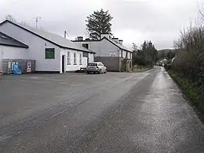 R282 in Rossinver | ||||
| Route information | ||||
| Length | 13.4 km[1][2] (8.3 mi) | |||
| Major junctions | ||||
| From | ||||
| ||||
| To | County Fermanagh border at Dooard | |||
| Location | ||||
| Country | Ireland | |||
| Highway system | ||||
| ||||
The R282 road is a regional road in County Leitrim, Ireland connecting the N16 in Manorhamilton with Rossinver (links R281 to Kinlough/Glenfarne) and across the border around Lough Melvin becoming the B53 to Garrison, County Fermanagh.[2]
See also
References
- ↑ Google (7 October 2020). "N16 to Rossinver R282" (Map). Google Maps. Google. Retrieved 7 October 2020.
- 1 2 "S.I. No. 54/2012 – Roads Act 1993 (Classification of Regional Roads) Order 2012". Government of Ireland. 28 February 2012. Retrieved 7 October 2020.
This article is issued from Wikipedia. The text is licensed under Creative Commons - Attribution - Sharealike. Additional terms may apply for the media files.