Route 12 | ||||
|---|---|---|---|---|
Route 12 highlighted in red | ||||
| Route information | ||||
| Maintained by RIDOT | ||||
| Length | 17.0 mi[1] (27.4 km) | |||
| Major junctions | ||||
| West end | ||||
| East end | Broad Street in Cranston | |||
| Location | ||||
| Country | United States | |||
| State | Rhode Island | |||
| Counties | Providence | |||
| Highway system | ||||
| ||||

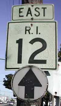
Route 12 sign
Route 12 is a numbered state highway in Rhode Island, United States. It runs approximately 17 miles (27 km) from Route 14 in Foster to Broad Street in Cranston.
Route description
Route 12 starts at Route 14 and Route 102 in Foster. It roughly follows the shore of the Scituate Reservoir before passing over its dam. It passes over I-295 without an interchange and heads towards downtown Cranston. After passing the city center as a main east–west corridor, Route 2 passes Route 10's southern terminus. It passes US 1A and ends at Broad Street, an old alignment of US 1A, 0.3 miles (0.48 km) later.
History
Major intersections
The entire route is in Providence County.
| Location | mi[1] | km | Destinations | Notes | |
|---|---|---|---|---|---|
| Scituate | 0.0 | 0.0 | Western terminus | ||
| 7.2 | 11.6 | ||||
| Cranston | 12.5 | 20.1 | Northern terminus of Route 51 | ||
| 12.9 | 20.8 | ||||
| 14.6 | 23.5 | ||||
| 15.6 | 25.1 | ||||
| 15.8 | 25.4 | Interchange, southern terminus of Route 10 | |||
| 16.6 | 26.7 | ||||
| 17.0 | 27.4 | Broad Street | Eastern terminus | ||
| 1.000 mi = 1.609 km; 1.000 km = 0.621 mi | |||||
References
- 1 2 Google (December 23, 2013). "Route 12" (Map). Google Maps. Google. Retrieved December 23, 2013.
External links
Template:Attached KML/Rhode Island Route 12
KML is from Wikidata
This article is issued from Wikipedia. The text is licensed under Creative Commons - Attribution - Sharealike. Additional terms may apply for the media files.