Sant'Alessio Siculo | |
|---|---|
| Comune di Sant'Alessio Siculo | |
 | |
 Coat of arms | |
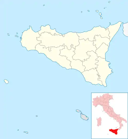
Location of Sant'Alessio Siculo | |
 Sant'Alessio Siculo Location of Sant'Alessio Siculo in Italy  Sant'Alessio Siculo Sant'Alessio Siculo (Sicily) | |
| Coordinates: 37°55′N 15°21′E / 37.917°N 15.350°E | |
| Country | Italy |
| Region | Sicily |
| Metropolitan city | Messina (ME) |
| Frazioni | Lacco |
| Government | |
| • Mayor | Domenico Aliberti |
| Area | |
| • Total | 6.17 km2 (2.38 sq mi) |
| Elevation | 15 m (49 ft) |
| Population (30 November 2021)[2] | |
| • Total | 1,519 |
| • Density | 250/km2 (640/sq mi) |
| Demonym | Santalessesi |
| Time zone | UTC+1 (CET) |
| • Summer (DST) | UTC+2 (CEST) |
| Postal code | 98030 |
| Dialing code | 0942 |
| Patron saint | Madonna del Carmine |
| Saint day | July 16 |
| Website | Official website |
Sant'Alessio Siculo (Sicilian: Sant'Alessiu Sìculu) is a comune (municipality) in the Metropolitan City of Messina in the Italian region Sicily, located about 180 kilometres (110 mi) east of Palermo and about 35 kilometres (22 mi) southwest of Messina.
Its main attraction is a castle built by the Byzantine emperor Alexios I Comnenos in his war against the Normans and the Arabs, who also held it.

The castle.

close-up of the 11th century Byzantine castle
References
- ↑ "Superficie di Comuni Province e Regioni italiane al 9 ottobre 2011". Italian National Institute of Statistics. Retrieved 16 March 2019.
- ↑ All demographics and other statistics: Italian statistical institute Istat.
This article is issued from Wikipedia. The text is licensed under Creative Commons - Attribution - Sharealike. Additional terms may apply for the media files.