Ardress
| |
|---|---|
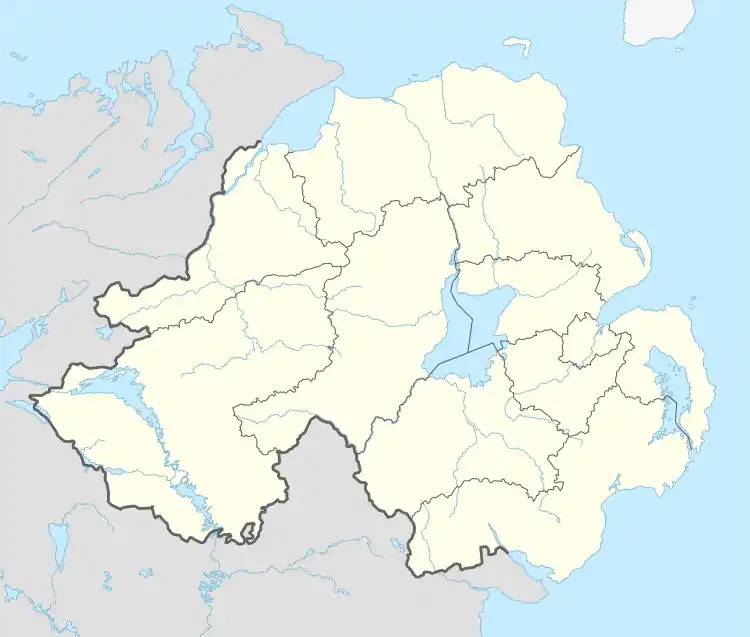 Ardress Location within Northern Ireland | |
| Population | 90 [1] |
| Irish grid reference | H 90875 55840 |
| • Belfast | 28 mi (45 km) |
| • Dublin | 76 mi (122 km) |
| District | |
| County | |
| Country | Northern Ireland |
| Sovereign state | United Kingdom |
| Post town | CRAIGAVON |
| Postcode district | BT62 |
| Dialling code | 028 |
| Police | Northern Ireland |
| Fire | Northern Ireland |
| Ambulance | Northern Ireland |
| UK Parliament | |
| NI Assembly | |
Ardress (formerly Ardreske, from Irish Ardriasc, meaning 'height of the marsh')[2] is a hamlet and townland between Loughgall and Annaghmore in County Armagh, Northern Ireland. It is made up of Ardress East and Ardress West. It is within the civil parish of Loughgall and barony of Oneilland West.[2] It had a population of 90 people (39 households) in the 2011 Census.[3]
See also
References
- ↑ Census, 2011
- 1 2 Placenames NI Archived March 31, 2012, at the Wayback Machine
- ↑ "Ardress". Census 2011 Results. NI Statistics and Research Agency. Retrieved 22 April 2015.
54°26′43″N 6°35′45″W / 54.44528°N 6.59583°W
This article is issued from Wikipedia. The text is licensed under Creative Commons - Attribution - Sharealike. Additional terms may apply for the media files.