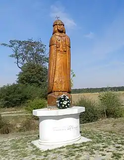
Astei
Астей | |
|---|---|
 | |
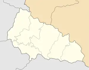 Astei Location of Astei 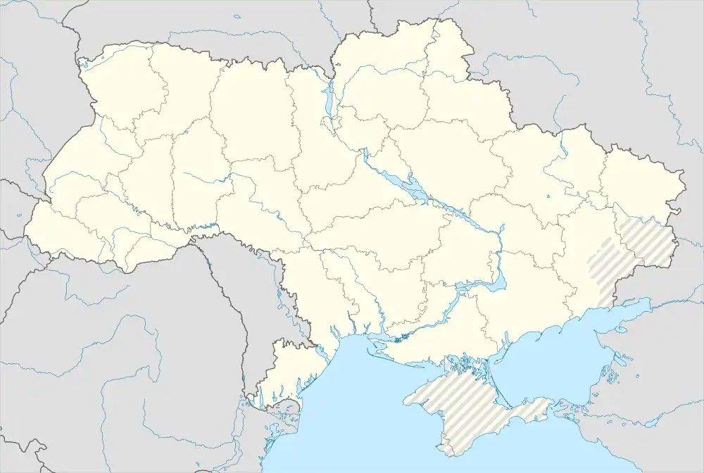 Astei Astei (Ukraine) | |
| Coordinates: 48°10′08″N 22°35′51″E / 48.16889°N 22.59750°E | |
| Country | |
| Province | Zakarpattia Oblast |
| District | Berehove Raion |
| Hromada | Velyka Bihan rural hromada |
| Elevation | 113 m (371 ft) |
| Population (2001) | |
| • Total | 677 |
| Time zone | UTC+2 (EET) |
| • Summer (DST) | UTC+3 (EEST) |
| Postal code | 90250 |
| Area code | +380 3141 |
| Climate | Dfa |
Astei (Ukrainian: Астей, Hungarian: Asztély) is a village (a selo) in the Berehove Raion (district) of Zakarpattia Oblast in western Ukraine. It is located 5 km (3.1 mi) from the district center Berehove and is located on Highway M24. In the immediate vicinity of the village is the Luzhanka border checkpoint on the border with Hungary.
History
Astei was first mentioned in 1492. From the 14th to 17th centuries, the village was owned by various feudal lords. In 1566 the village, was subjected to a devastating raid by the Crimean Tatars. In 1946, by decree of the Soviet Ukrainian authorities, the village of Astei was renamed Luzhanka. In 1991, its historic name was restored.[2]
References
- ↑ "Astei (Zakarpattia Oblast, Berehove Raion)". weather.in.ua. Retrieved 4 May 2022.
- ↑ "Про відновлення деяким населеним пунктам Берегівського району Закарпатської області колишніх найменувань". zakon.rada.gov.ua (in Ukrainian). Retrieved 18 May 2020.
This article is issued from Wikipedia. The text is licensed under Creative Commons - Attribution - Sharealike. Additional terms may apply for the media files.