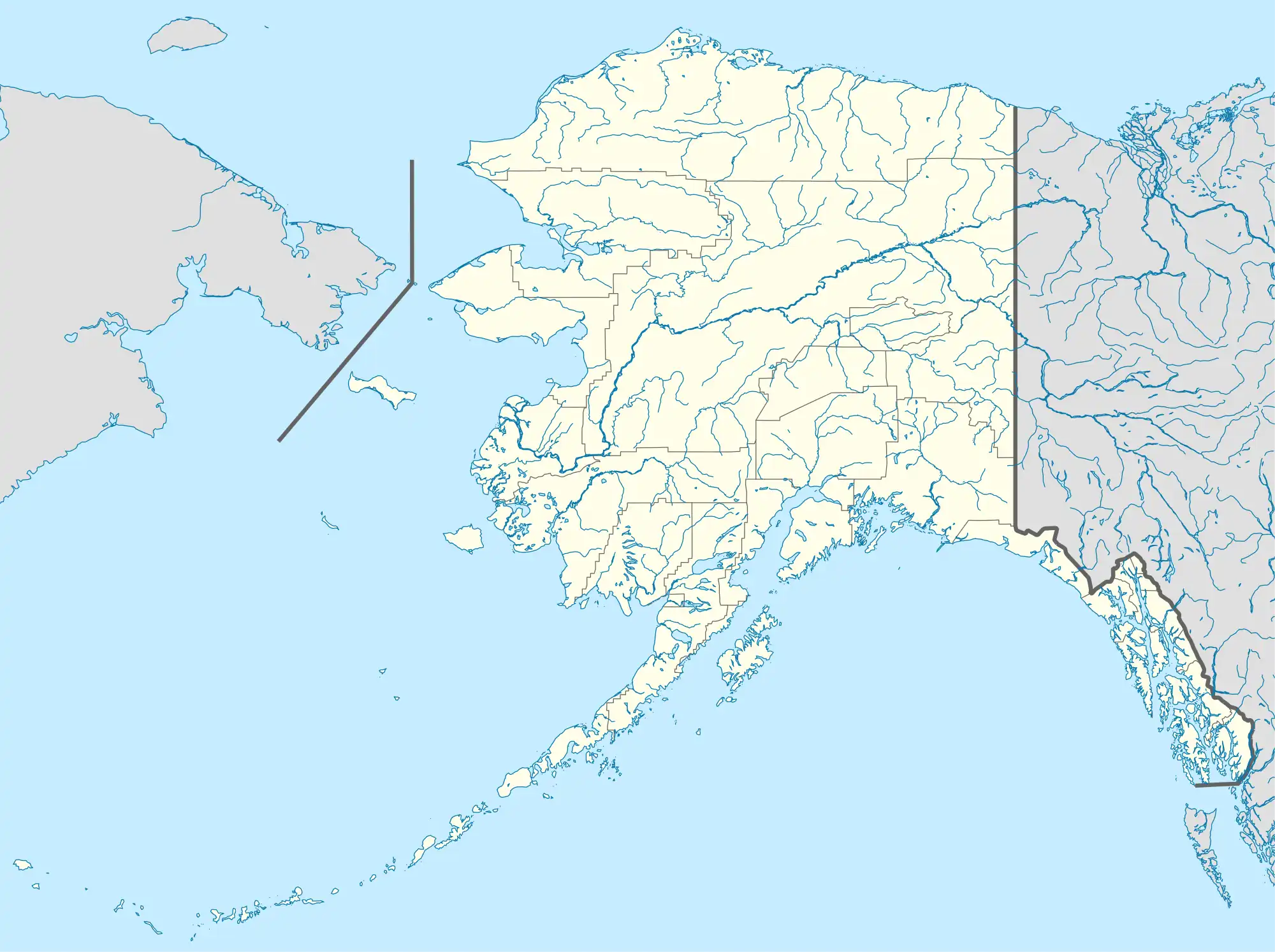
| Bogoslof Wilderness | |
|---|---|
 Bogoslof Island | |
 Location in Alaska | |
| Location | Aleutians West Census Area, Alaska, USA |
| Nearest city | Unalaska, Alaska |
| Coordinates | 53°56′09″N 168°02′20″W / 53.93583°N 168.03889°W |
| Area | 175 acres (71 ha) |
| Established | 1970 |
| Governing body | US Fish and Wildlife Service |
Bogoslof Wilderness is a wilderness area in the U.S. state of Alaska. Located within the Aleutian Islands unit of Alaska Maritime National Wildlife Refuge, it is 175 acres (71 ha) in area and was designated by the United States Congress in 1970. It encompasses the entirety of Bogoslof Island and nearby Fire Island.

Kenyon Dome, Bogoslof Island
References
- ↑ Protected Planet Website- Retrieved March 28, 2023
External links
This article is issued from Wikipedia. The text is licensed under Creative Commons - Attribution - Sharealike. Additional terms may apply for the media files.