Burrs Mill, New Jersey | |
|---|---|
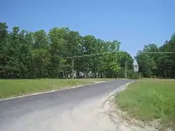 Looking north along Burrs Mill Road from Route 70 | |
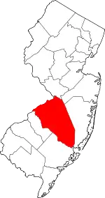
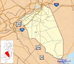 Burrs Mill Location of Burrs Mill in Burlington County (Inset: Location of county within the state of New Jersey) 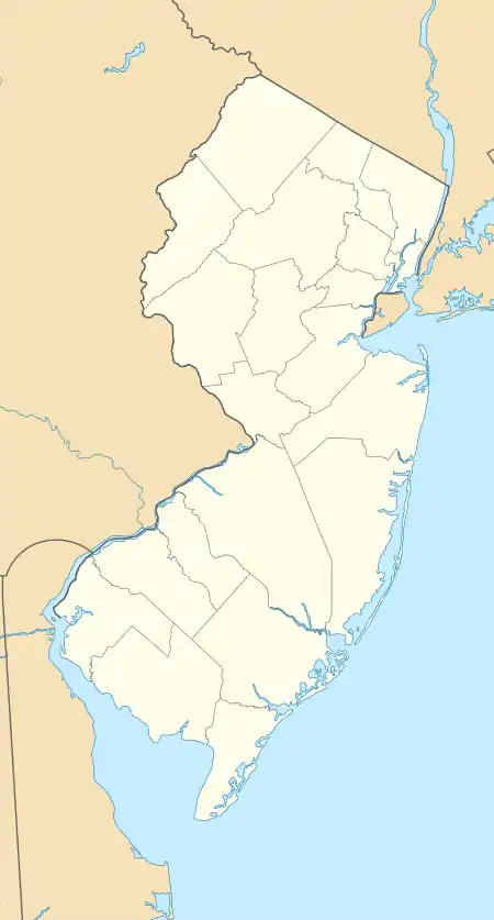 Burrs Mill Burrs Mill (New Jersey)  Burrs Mill Burrs Mill (the United States) | |
| Coordinates: 39°53′18″N 74°39′00″W / 39.88833°N 74.65000°W | |
| Country | |
| State | |
| County | Burlington |
| Township | Southampton |
| Elevation | 85 ft (26 m) |
| Time zone | UTC−05:00 (Eastern (EST)) |
| • Summer (DST) | UTC−04:00 (EDT) |
| Area code(s) | 609, 640 |
| GNIS feature ID | 875051[1] |
Burrs Mill is an unincorporated community located within Southampton Township in Burlington County, in the U.S. state of New Jersey.[2] Found in a rural portion of the township near Route 70, it is located along its eponymous brook in a forested area within the Pine Barrens. A low density of houses surround nearby roads including Burrs Mill Road and Route 70's fire roads.[3]
References
- 1 2 "Burrs Mill". Geographic Names Information System. United States Geological Survey, United States Department of the Interior.
- ↑ Locality Search, State of New Jersey. Accessed March 14, 2015.
- ↑ Google (June 21, 2016). "Aerial view of Burrs Mill" (Map). Google Maps. Google. Retrieved June 21, 2016.
This article is issued from Wikipedia. The text is licensed under Creative Commons - Attribution - Sharealike. Additional terms may apply for the media files.