| Caroe | |
|---|---|
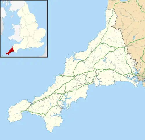 Caroe Location within Cornwall | |
| OS grid reference | SX169916 |
| Civil parish |
|
| Unitary authority | |
| Ceremonial county | |
| Region | |
| Country | England |
| Sovereign state | United Kingdom |
| Post town | CAMELFORD |
| Postcode district | PL32 |
| Dialling code | 01840 |
| Police | Devon and Cornwall |
| Fire | Cornwall |
| Ambulance | South Western |
| UK Parliament | |
Caroe is a small hamlet in the parish of Otterham, Cornwall, England. Caroe is situated approximately ten miles (16 km) south of Bude and six miles (9.7 km) north of Camelford.[1] Caroe is at around 660 feet (201 m) above sea level[1] and lies on the western side of the River Ottery.
Immediately to the south of Caroe is Kernick and Ottery Meadows which is a designated Site of Special Scientific Interest (SSSI).
References
- 1 2 "Magic Map Application". DEFRA. Retrieved 10 January 2016.
| Unitary authorities | |
|---|---|
| Major settlements (cities in italics) |
|
| Rivers | |
| Topics | |
This article is issued from Wikipedia. The text is licensed under Creative Commons - Attribution - Sharealike. Additional terms may apply for the media files.