Coreglia Antelminelli | |
|---|---|
| Comune di Coreglia Antelminelli | |
 | |
 Coat of arms | |
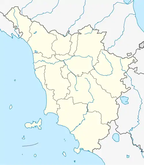
Location of Coreglia Antelminelli | |
 Coreglia Antelminelli Location of Coreglia Antelminelli in Italy  Coreglia Antelminelli Coreglia Antelminelli (Tuscany) | |
| Coordinates: 44°3′52″N 10°31′35″E / 44.06444°N 10.52639°E | |
| Country | Italy |
| Region | Tuscany |
| Province | Lucca (LU) |
| Frazioni | Calavorno, Ghivizzano, Gromignana, Lucignana, Piano di Coreglia, Tereglio, Vitiana |
| Government | |
| • Mayor | Valerio Amadei |
| Area | |
| • Total | 52.94 km2 (20.44 sq mi) |
| Elevation | 595 m (1,952 ft) |
| Population (31 March 2017)[2] | |
| • Total | 5,212 |
| • Density | 98/km2 (250/sq mi) |
| Demonym | Coreglini |
| Time zone | UTC+1 (CET) |
| • Summer (DST) | UTC+2 (CEST) |
| Postal code | 55025 |
| Dialing code | 0583 |
| Website | Official website |
Coreglia Antelminelli is a comune (municipality) in the Province of Lucca in the Italian region Tuscany, located about 70 kilometres (43 mi) northwest of Florence and about 25 kilometres (16 mi) north of Lucca.
Coreglia Antelminelli borders the following municipalities: Abetone Cutigliano, Bagni di Lucca, Barga, Borgo a Mozzano, Fiumalbo, Gallicano, Pievepelago. It is one of I Borghi più belli d'Italia ("The most beautiful villages of Italy").[3]
Main sights
- Church of San Martino
- Church of Saints Peter and Paul
- Church of Santa Maria Assunta
References
External links
![]() Media related to Coreglia Antelminelli at Wikimedia Commons
Media related to Coreglia Antelminelli at Wikimedia Commons
This article is issued from Wikipedia. The text is licensed under Creative Commons - Attribution - Sharealike. Additional terms may apply for the media files.