| Dashair | |
|---|---|
 Dashair  Dashair | |
| Location | Kullu with Lahaul district |
| Coordinates | 32°22′30″N 77°13′26″E / 32.37500°N 77.22389°E |
| Type | High altitude lake |
| Basin countries | India |
| Surface elevation | 4,270 m (14,010 ft) |
| References | [1] |
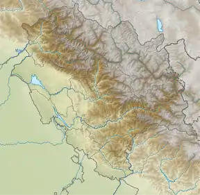
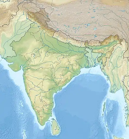
Dashair Lake is located near the Rohtang Pass that connects Kullu district with Lahaul in the state of Himachal Pradesh, India. It is about 4,270 metres (14,010 ft) above the sea level and it is also known as Sarkund.[2]
References
External links
This article is issued from Wikipedia. The text is licensed under Creative Commons - Attribution - Sharealike. Additional terms may apply for the media files.