Derry, Louisiana | |
|---|---|
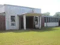
 Abandoned school near Derry in Natchitoches Parish | |
 Derry, Louisiana  Derry, Louisiana | |
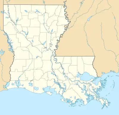
| Coordinates: 31°32′03″N 92°56′52″W / 31.53417°N 92.94778°W | |
| Country | United States |
| State | Louisiana |
| Parish | Natchitoches |
| Elevation | 105 ft (32 m) |
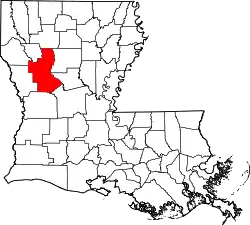
Derry is an unincorporated community in Natchitoches Parish, Louisiana, United States, located on Louisiana Highway 1 near Isle Brevelle.[1] It is the closest town to Magnolia Plantation, a National Historic Landmark.
See Also
References
- 1 2 "Derry, Louisiana". Geographic Names Information System. United States Geological Survey, United States Department of the Interior. Retrieved October 30, 2015.
This article is issued from Wikipedia. The text is licensed under Creative Commons - Attribution - Sharealike. Additional terms may apply for the media files.
