| Dianbao River | |
|---|---|
 | |
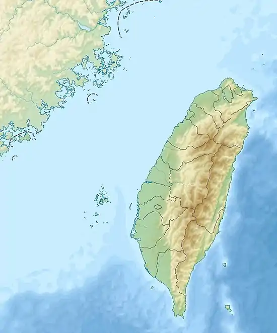 Map showing the mouth of the Dianbao River | |
| Location | |
| Country | Taiwan |
| Physical characteristics | |
| Mouth | |
• location | Taiwan Strait: Nanzi District/Ziguan District, Kaohsiung City |
• coordinates | 22°43′05″N 120°15′17″E / 22.7181°N 120.2547°E |
| Length | 32 km (20 mi) |
| Basin size | 106 km2 (41 sq mi) |
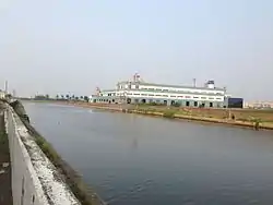
The Dianbao River (Chinese: 典寶溪; pinyin: Diǎnbǎo Xī; Wade–Giles: Tien3-pao3 Hsi1)[1] is a river in Taiwan. It flows through Kaohsiung City for 32 km.[2]
See also
References
- ↑ "GeoNames Search". Geographic Names Database. National Geospatial-Intelligence Agency, USA. Retrieved 12 June 2016.
- ↑ "The Planning of Regulation and the Environment Rehabilitation of Dian-Bao-Chi Drainage in Kaohsiung Area" (PDF) (in Chinese (Taiwan)). Water Resources Agency, Ministry of Economic Affairs. April 2010. Retrieved 12 June 2016.
Wikimedia Commons has media related to Dianbao River.
This article is issued from Wikipedia. The text is licensed under Creative Commons - Attribution - Sharealike. Additional terms may apply for the media files.