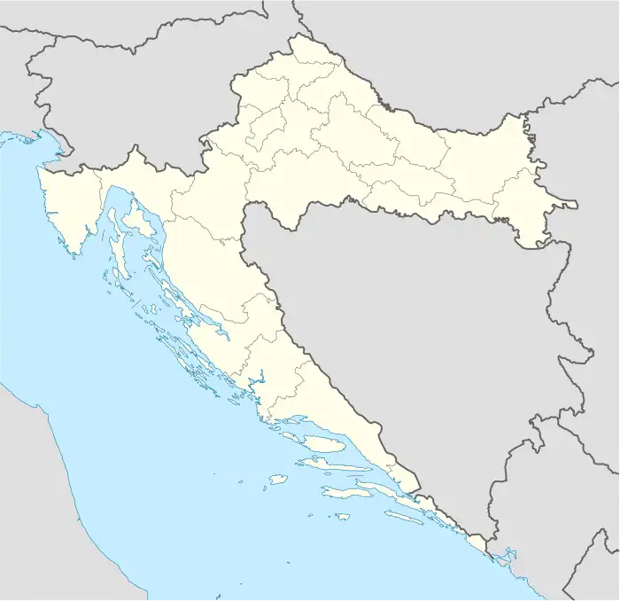
Dobroselo
| |
|---|---|
Village | |
 Dobroselo | |
| Coordinates: 44°28′56″N 16°02′59″E / 44.48222°N 16.04972°E | |
| Country | |
| County | |
| Municipality | Donji Lapac |
| Area | |
| • Total | 21.2 km2 (8.2 sq mi) |
| Elevation | 555 m (1,821 ft) |
| Population (2021)[3] | |
| • Total | 76 |
| • Density | 3.6/km2 (9.3/sq mi) |
| Time zone | UTC+1 (CET) |
| • Summer (DST) | UTC+2 (CEST) |
| Postal code | 53252 Doljani |
| Area code | +385 (53) |
Dobroselo (Serbian Cyrillic: Добросело)[1] is a village in Croatia. It is connected by the D218 highway.
Population
According to the 2011 census, Dobroselo had 117 inhabitants.[4]
| Population[5] | |||||||||||||||
|---|---|---|---|---|---|---|---|---|---|---|---|---|---|---|---|
| 1857 | 1869 | 1880 | 1890 | 1900 | 1910 | 1921 | 1931 | 1948 | 1953 | 1961 | 1971 | 1981 | 1991 | 2001 | 2011 |
| 1.062 | 1.132 | 889 | 1.113 | 891 | 811 | 849 | 782 | 488 | 509 | 418 | 325 | 230 | 234 | 94 | 117 |
Note: From 1857-1880 include part of data for the settlement of Doljani.
1991 census
According to the 1991 census, settlement of Dobroselo had 234 inhabitants, which were ethnically declared as this:
| Dobroselo |
|---|
| 1991 |
total: 234 |
Austro-hungarian 1910 census
According to the 1910 census, settlement of Dobroselo had 811 inhabitants in 4 hamlets, which were linguistically and religiously declared as this:
| Population by language | Croatian or Serbian |
|---|---|
| Babin Kraj | 169 |
| Dobroselo | 514 |
| Dobroselska Prisjeka | 25 |
| Dobroselski Bubanj | 103 |
| Total | 811 (100%) |
| Population by religion | Eastern Orthodox | Roman Catholics |
|---|---|---|
| Babin Kraj | 169 | - |
| Dobroselo | 513 | 1 |
| Dobroselska Prisjeka | 25 | - |
| Dobroselski Bubanj | 103 | - |
| Total | 810 (99.87%) | 1 (0.12%) |
Literature
- Savezni zavod za statistiku i evidenciju FNRJ i SFRJ, popis stanovništva 1948, 1953, 1961, 1971, 1981. i 1991. godine.
- Knjiga: "Narodnosni i vjerski sastav stanovništva Hrvatske, 1880-1991: po naseljima, autor: Jakov Gelo, izdavač: Državni zavod za statistiku Republike Hrvatske, 1998., ISBN 953-6667-07-X, ISBN 978-953-6667-07-9;
References
- 1 2 Government of Croatia (October 2013). "Peto izvješće Republike Hrvatske o primjeni Europske povelje o regionalnim ili manjinskim jezicima" (PDF) (in Croatian). Council of Europe. p. 36. Retrieved 30 November 2016.
- ↑ Register of spatial units of the State Geodetic Administration of the Republic of Croatia. Wikidata Q119585703.
- ↑ "Population by Age and Sex, by Settlements, 2021 Census". Census of Population, Households and Dwellings in 2021. Zagreb: Croatian Bureau of Statistics. 2022.
- ↑ "Population by Age and Sex, by Settlements, 2011 Census: Dobroselo". Census of Population, Households and Dwellings 2011. Zagreb: Croatian Bureau of Statistics. December 2012.
- ↑ - Republika Hrvatska - Državni zavod za statistiku: Naselja i stanovništvo Republike Hrvatske 1857.-2001.
This article is issued from Wikipedia. The text is licensed under Creative Commons - Attribution - Sharealike. Additional terms may apply for the media files.