54°35′20″N 7°12′11″W / 54.589°N 7.203°W
Edenderry
| |
|---|---|
| Village | |
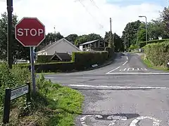
 Crossroads of Edenderry Road and Donaghanie Road (B158) | |
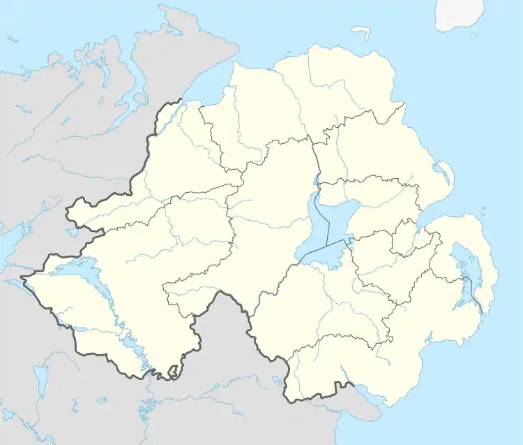
 Edenderry Location within Northern Ireland | |
| Population | 84 [1] |
| • Belfast | 51 mi (82 km) |
| • Dublin | 94 mi (151 km) |
| District | |
| County | |
| Country | Northern Ireland |
| Sovereign state | United Kingdom |
| Post town | OMAGH |
| Postcode district | BT79 |
| Dialling code | 028 |
| Police | Northern Ireland |
| Fire | Northern Ireland |
| Ambulance | Northern Ireland |
| UK Parliament | |
| NI Assembly | |
Edenderry (from Irish Éadan Doire, meaning 'hill-brow of the oak-grove')[2] is a small village and townland in County Tyrone, Northern Ireland. In the 2001 Census it had a population of 84. It is within the Fermanagh and Omagh District Council area and lies on the north bank of the Camowen River. The townland is traversed by the B158 road.
References
- ↑ Census, 2001
- ↑ Placenames NI Archived 2012-06-05 at the Wayback Machine
This article is issued from Wikipedia. The text is licensed under Creative Commons - Attribution - Sharealike. Additional terms may apply for the media files.