Ewarton Airstrip | |||||||||||
|---|---|---|---|---|---|---|---|---|---|---|---|
| Summary | |||||||||||
| Airport type | Private | ||||||||||
| Serves | Ewarton, Jamaica | ||||||||||
| Elevation AMSL | 600 ft / 183 m | ||||||||||
| Coordinates | 18°10′25″N 77°04′10″W / 18.17361°N 77.06944°W | ||||||||||
| Map | |||||||||||
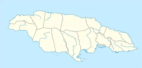 Ewarton Airstrip Location of the airport in Jamaica | |||||||||||
| Runways | |||||||||||
| |||||||||||
Ewarton Airstrip is an airstrip serving the town of Ewarton and the WINDALCO bauxite mine in the Saint Catherine Parish of Jamaica.
There is distant rising terrain to the northwest.
The Manley VOR/DME (Ident: MLY) is located 22.1 nautical miles (40.9 km) southeast of the runway.[3]
See also
References
External links
| International | |
|---|---|
| Domestic | |
| Military |
|
This article is issued from Wikipedia. The text is licensed under Creative Commons - Attribution - Sharealike. Additional terms may apply for the media files.