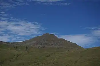
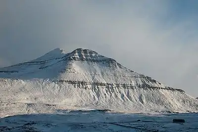
Gráfelli.
Gráfelli is the second highest mountain of the Faroe Islands[1] located on the island of Eysturoy. It has an elevation of 856 metres.[2] Slættaratindur just south-east of the mountain is 24 metres higher at 880 metres, the highest point of the Faroes. Funningur lies at the foot of both Slættaratindur and Gráfelli.
Slættaratindur lies just south-east of Grafelli.
References
- ↑ US.fo Archived 2011-07-20 at the Wayback Machine
- ↑ Umhvørvisstovan Archived 2011-07-20 at the Wayback Machine
62°18′N 7°00′W / 62.300°N 7.000°W
This article is issued from Wikipedia. The text is licensed under Creative Commons - Attribution - Sharealike. Additional terms may apply for the media files.