Kentau
Kentau Кентау | |
|---|---|
 Seal | |
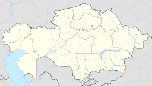
 Kentau Location in Kazakhstan | |
| Coordinates: 43°31′N 68°31′E / 43.517°N 68.517°E | |
| Country | Kazakhstan |
| Region | Turkistan Region |
| Government | |
| • Akim (mayor) | Zhandos Tasov[1] |
| Area | |
| • City | 77.45 km2 (29.90 sq mi) |
| Population (2009) | |
| • City | 81,484 |
| • Urban | 57,121 |
| Climate | BSk |
Kentau (Kazakh: Kentau, كەنتاۋ; Cyrillic: Кентау) is a town in Turkistan Region of Kazakhstan. It is located at the foot of the Karatau mountains 30 km north-east of the city of Turkestan. Kentau was formed in August 1955. In Soviet times, the population of the city was mainly from Russia, the descendants of the repressed: Greeks, Russians, Germans, Koreans, Jews, Chechens, etc., as well as Uzbeks, and majority of population comprising an ethnic Kazakhs. Major mining ore operations are supported by excavator and transformer plants. The late 1980s or early 1990s saw massive emigration of population and the closures of mines and industrial enterprises. Today, the population is approximately 80 thousand, mostly Kazakhs. Population: 57,121 (2009 Census results);[2] 55,521 (1999 Census results).[2]
Industry
There are two plants in Kentau: Transformer Plant and Excavator Plant. Both of them were famous in USSR. Nowadays Excavator Plant is working, but not so active as about 25–30 years ago.
Notable residents
- Russian pop singer Linda was born in Kentau on 29 April 1977.
- Kazakh futsal player Dinmukhambet Suleimanov was born in Kentau on 8 January 1981.
References
- ↑ "Бывший замакима Туркестана назначен акимом Кентау". www.zakon.kz. 11 August 2022.
- 1 2 "Население Республики Казахстан" [Population of the Republic of Kazakhstan] (in Russian). Департамент социальной и демографической статистики. Retrieved 8 December 2013.
External links
 Media related to Kentau at Wikimedia Commons
43°31′N 68°31′E / 43.517°N 68.517°E


