Kiteni Airport | |||||||||||
|---|---|---|---|---|---|---|---|---|---|---|---|
 | |||||||||||
| Summary | |||||||||||
| Airport type | Public | ||||||||||
| Serves | Kiteni | ||||||||||
| Elevation AMSL | 2,540 ft / 774 m | ||||||||||
| Coordinates | 12°38′55″S 73°02′12″W / 12.64861°S 73.03667°W | ||||||||||
| Map | |||||||||||
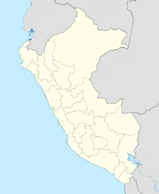 SPQI Location of the airport in Peru | |||||||||||
| Runways | |||||||||||
| |||||||||||
Kiteni Airport (ICAO: SPQI/SPKI) is an airport serving the town of Kiteni in the Cusco Region of Peru. The runway sits on a ledge above the Urubamba River with dropoffs on both sides. There is high terrain in all quadrants.
See also
References
- ↑ Airport information for Kiteni Airport at Great Circle Mapper.
- ↑ "Google Maps". Retrieved 12 September 2016.
External links
- OpenStreetMap - Kiteni
- OurAirports - Kiteni
- SkyVector - Kiteni
- Kiteni Airport
- Accident history for Kiteni Airport at Aviation Safety Network
This article is issued from Wikipedia. The text is licensed under Creative Commons - Attribution - Sharealike. Additional terms may apply for the media files.