Krabbendam | |
|---|---|
Village | |
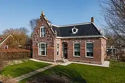
 Westfriesedijk 64, Krabbendam | |
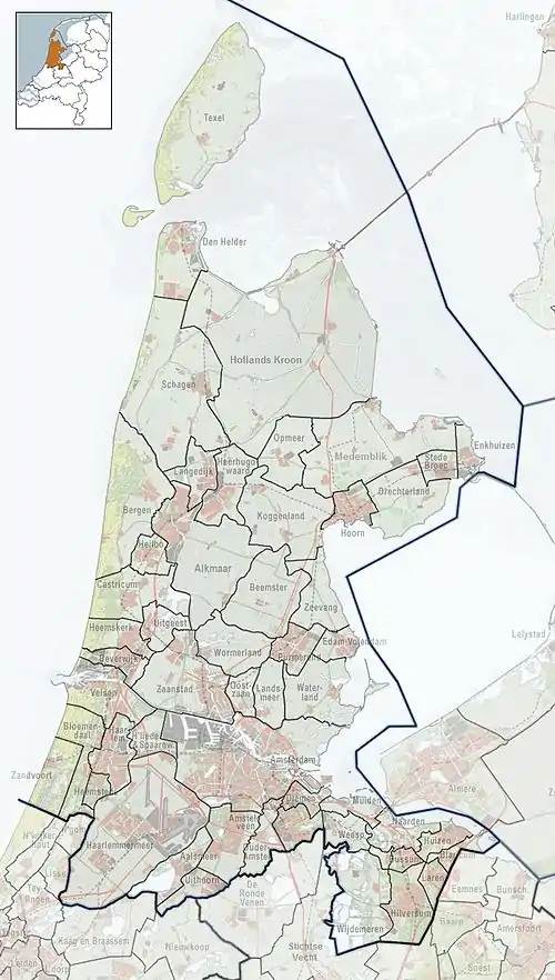
 Krabbendam Location in the Netherlands  Krabbendam Location in the province of North Holland in the Netherlands | |
| Coordinates: 52°44′N 4°42′E / 52.733°N 4.700°E | |
| Country | Netherlands |
| Province | North Holland |
| Municipality | Schagen |
| Area | |
| • Total | 0.84 km2 (0.32 sq mi) |
| Elevation | 0.0 m (0.0 ft) |
| Population (2021)[1] | |
| • Total | 135 |
| • Density | 160/km2 (420/sq mi) |
| Time zone | UTC+1 (CET) |
| • Summer (DST) | UTC+2 (CEST) |
| Postal code | 1749[1] |
| Dialing code | 0226 |
Krabbendam is a village in the Dutch province of North Holland. It is a part of the municipality of Schagen, and lies about 10 km north of Alkmaar.
History
The village was first mentioned in 1413 or 1414 as Crabbendamme. A "krabbendam" is an engineer's term for a structure of poles in front of a dike to break the waves and diminish the impact on the dike. There is no relation with crabs.[3] Almost the entire village was destroyed during the Battle of Krabbendam. Krabbendam was home to 109 people in 1840. The Reformed Church was built in 1846, and is nowadays used for weddings and cultural activities.[4]
Gallery
 Reformed Church of Krabbendam
References
- 1 2 3 "Kerncijfers wijken en buurten 2021". Central Bureau of Statistics. Retrieved 1 May 2022.
- ↑ "Postcodetool for 1749AA". Actueel Hoogtebestand Nederland (in Dutch). Het Waterschapshuis. Retrieved 1 May 2022.
- ↑ "Krabbendam - (geografische naam)". Etymologiebank (in Dutch). Retrieved 1 May 2022.
- ↑ "Krabbendam". Plaatsengids (in Dutch). Retrieved 1 May 2022.
External links
![]() Media related to Krabbendam at Wikimedia Commons
Media related to Krabbendam at Wikimedia Commons
This article is issued from Wikipedia. The text is licensed under Creative Commons - Attribution - Sharealike. Additional terms may apply for the media files.