Kvål | |
|---|---|
Village | |
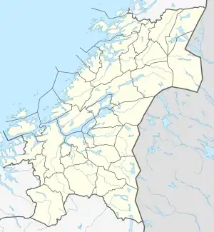 Kvål Location of the village  Kvål Kvål (Norway) | |
| Coordinates: 63°13′53″N 10°16′54″E / 63.2314°N 10.2818°E | |
| Country | Norway |
| Region | Central Norway |
| County | Trøndelag |
| District | Gauldalen |
| Municipality | Melhus |
| Area | |
| • Total | 0.45 km2 (0.17 sq mi) |
| Elevation | 49 m (161 ft) |
| Population (2018)[1] | |
| • Total | 458 |
| • Density | 1,018/km2 (2,640/sq mi) |
| Time zone | UTC+01:00 (CET) |
| • Summer (DST) | UTC+02:00 (CEST) |
| Post Code | 7228 Kvål |
Kvål is a village in the municipality of Melhus in Trøndelag county, Norway. It is located in the Gauldalen valley along the Gaula River between the villages of Ler and Melhus. The 0.45-square-kilometre (110-acre) village has a population (2018) of 458 and a population density of 1,018 inhabitants per square kilometre (2,640/sq mi).[1]
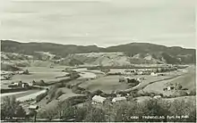
View of Kvål (c. 1920s)
Kvål Station is located in the village along the Dovre Line, but only used for local traffic. The European route E6 highway also runs through the village.[3]
References
- 1 2 3 Statistisk sentralbyrå (1 January 2018). "Urban settlements. Population and area, by municipality".
- ↑ "Kvål, Melhus (Trøndelag)". yr.no. Retrieved 2018-01-28.
- ↑ Haugen, Morten, ed. (2017-09-11). "Kvål". Store norske leksikon (in Norwegian). Kunnskapsforlaget. Retrieved 2018-01-28.
This article is issued from Wikipedia. The text is licensed under Creative Commons - Attribution - Sharealike. Additional terms may apply for the media files.