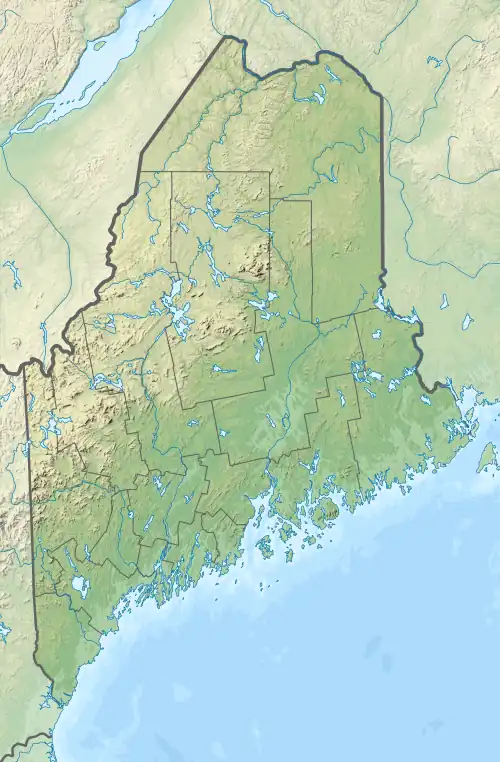
| Lobster Lake | |
|---|---|
 Lobster Lake  Lobster Lake | |
| Location | Piscataquis County, Maine |
| Coordinates | 45°51′N 69°32′W / 45.850°N 69.533°W[1] |
| Primary outflows | Lobster Stream |
| Basin countries | United States |
| Max. length | 4.7 mi (7.6 km)[2] |
| Max. width | 1.5 mi (2.4 km)[2] |
| Surface area | 3,380 acres (1,370 ha)[3] |
| Max. depth | 106 feet (32 m)[4] |
| Water volume | 88,897 acre⋅ft (109,653,000 m3)[3] |
| Surface elevation | 965 ft (294 m)[1] |
Lobster Lake in the North Maine Woods was named because its shape resembles the outline of a lobster claw. The larger eastern arm of the lake extending southward is Big Claw and a smaller western arm is Little Claw. Lobster Stream connects the northwest corner of the lake to the West Branch Penobscot River 1.4 miles (2.3 km) north of the lake.[2] Lobster Lake and the river are at a similar elevation; so the West Branch may temporarily reverse flow through Lobster Stream into the lake during peak runoff events from the western Maine highlands along the Canadian border. The lake has self-sustaining populations of native lake trout and land-locked Atlantic salmon; but brook trout populations are suppressed by competition from yellow perch and white perch.[4]
Sources
- 1 2 U.S. Geological Survey Geographic Names Information System: Lobster Lake
- 1 2 3 The Maine Atlas and Gazetteer (Thirteenth ed.). Freeport, Maine: DeLorme Mapping Company. 1988. p. 49. ISBN 0-89933-035-5.
- 1 2 Maine Depts. of Environmental Protection and Inland Fisheries & Wildlife (2005-08-04). "Maine Lakes: Morphometry and Geographic Information". Senator George J. Mitchell Center for Environmental and Watershed Research, The University of Maine. Archived from the original on 3 September 2006. Retrieved 31 July 2008.
- 1 2 "Lobster Lake" (PDF). Maine Department of Inland Fisheries and Wildlife. State of Maine. Retrieved 9 May 2016.