Maple Creek Airport | |||||||||||||||
|---|---|---|---|---|---|---|---|---|---|---|---|---|---|---|---|
| Summary | |||||||||||||||
| Airport type | Public | ||||||||||||||
| Operator | Town of Maple Creek | ||||||||||||||
| Location | Maple Creek, Saskatchewan | ||||||||||||||
| Time zone | CST (UTC−06:00) | ||||||||||||||
| Elevation AMSL | 2,522 ft / 769 m | ||||||||||||||
| Coordinates | 49°53′47″N 109°28′33″W / 49.89639°N 109.47583°W | ||||||||||||||
| Map | |||||||||||||||
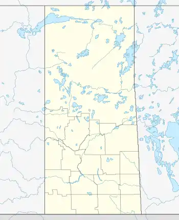
 CJQ4 Location in Saskatchewan  CJQ4 CJQ4 (Canada) | |||||||||||||||
| Runways | |||||||||||||||
| |||||||||||||||
Source: Canada Flight Supplement[1] | |||||||||||||||
Maple Creek Airport (TC LID: CJQ4) is located adjacent to Maple Creek, Saskatchewan, Canada.
At 12 noon 3 January 2011 Saskatchewan Air Ambulance Lifeguard 3 touched down and slid off the runway due to snow on the runway, causing damage to the King Air B200 aircraft.[2]
See also
References
- ↑ Canada Flight Supplement. Effective 0901Z 16 July 2020 to 0901Z 10 September 2020.
- ↑ "Air ambulance experiences ground turbulence". Maple Creek News. Archived from the original on 7 January 2011. Retrieved 1 July 2012.
This article is issued from Wikipedia. The text is licensed under Creative Commons - Attribution - Sharealike. Additional terms may apply for the media files.