| Mont Avic | |
|---|---|
 | |
| Highest point | |
| Elevation | 3,006 m (9,862 ft) |
| Prominence | 395[1] |
| Listing | Alpine mountains above 3000 m |
| Coordinates | 45°41′24″N 7°33′50″E / 45.69000°N 7.56389°E |
| Geography | |
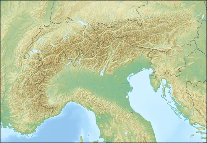 Mont Avic Location in the Alps | |
| Location | Aosta Valley, Italy |
| Parent range | Graian Alps |
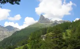
Mont Avic is a mountain in the Graian Alps, in the Aosta Valley, north-western Italy. It has an elevation of 3,006 m (9862 ft). It is included in the Gran Paradiso massif.
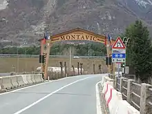
Entrance of the Mont-Avic Natural Park.
Geography
The peak is located between the municipalities of Champdepraz, Chambave and Champorcher, and gives its name to a regional natural park called Mont Avic Natural Park.
Mont Avic was ascended for the first time in 1875. The easiest route starts from the Champdepraz valley; at first it follows well marked footpaths and then becomes steeper and more difficult.
References
- ↑ "Mont Aviv". peakvisor.com. Retrieved 7 November 2019.
This article is issued from Wikipedia. The text is licensed under Creative Commons - Attribution - Sharealike. Additional terms may apply for the media files.