| Mount Zeil | |
|---|---|
| Urlatherrke | |
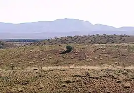
 Mount Zeil viewed from the south | |
| Highest point | |
| Elevation | 1,531 m (5,023 ft)AHD |
| Coordinates | 23°24′06″S 132°23′45″E / 23.4018°S 132.3958°E[1] |
| Geography | |
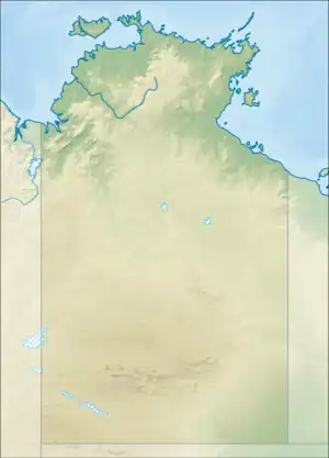
 Mount Zeil Location of Mount Zeil in the Northern Territory | |
| Location | Mount Zeil, Northern Territory,[1] Australia |
| Parent range | MacDonnell Ranges |
Mount Zeil (Western Arrernte: Urlatherrke) (1,531 m or 5,023 ft) is a mountain in the Northern Territory of Australia located in the locality of Mount Zeil in the western MacDonnell Ranges.[2][1] It is the highest peak in the Northern Territory, and the highest peak on the Australian mainland west of the Great Dividing Range.[2]
History
It is believed that Mount Zeil was named during or following Ernest Giles's 1872 expedition, probably after Count Karl von Waldburg-Zeil (1841–1890), who had recently distinguished himself with geographic explorations in Spitzbergen; a footnote in Giles' published journal implies that the naming was instigated by his benefactor, Baron Ferdinand von Mueller.[1]
Indigenous etymology
The name for Mount Zeil in the Western Arrernte language is Urlatherrke, referring to the Yeperenye caterpillars.[3]
See also
References
- 1 2 3 4 "Place Names Register Extract for "Mount Zeil"". NT Place Names Register. Northern Territory Government. Retrieved 6 October 2019.
- 1 2 "Highest Mountains". Geoscience Australia. Retrieved 6 October 2019.
- ↑ hermannsburgschool.com. Retrieved 4 January 2007
