Myki
Μύκη | |
|---|---|
 Municipality of Myki | |
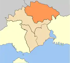
 Myki Location within the region 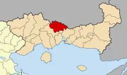 | |
| Coordinates: 41°15′N 24°55′E / 41.250°N 24.917°E | |
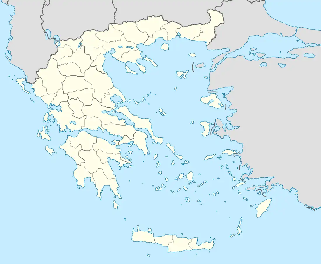
| Country | Greece |
| Administrative region | East Macedonia and Thrace |
| Regional unit | Xanthi |
| Government | |
| • Mayor | Mustafa Aga |
| Area | |
| • Municipality | 633.3 km2 (244.5 sq mi) |
| • Municipal unit | 314.9 km2 (121.6 sq mi) |
| Elevation | 499 m (1,637 ft) |
| Population (2011)[1] | |
| • Municipality | 15,540 |
| • Municipality density | 25/km2 (64/sq mi) |
| • Municipal unit | 12,087 |
| • Municipal unit density | 38/km2 (99/sq mi) |
| Community | |
| • Population | 8,051 (2011) |
| Time zone | UTC+2 (EET) |
| • Summer (DST) | UTC+3 (EEST) |
| Vehicle registration | AH |
Myki (Greek: Μύκη, Bulgarian: Мустафчово, Mustafčovo) is a municipality in the Xanthi regional unit, Greece. The seat of the municipality is in Sminthi.[2] The majority of the population in the municipality are members of the Muslim minority.
Municipality
The municipality Myki was formed at the 2011 local government reform by the merger of the following 4 former municipalities, that became municipal units:[2]
The municipality has an area of 633.334 km2, the municipal unit 314.874 km2.[3] The population of the municipal unit Myki was 12,087 as of 2011.[1] The main villages of the municipal unit are Sminthi, Alma, Glafki, Kentavros, Myki, Echinos, Melivoia and Oraio.
References
- 1 2 3 "Απογραφή Πληθυσμού - Κατοικιών 2011. ΜΟΝΙΜΟΣ Πληθυσμός" (in Greek). Hellenic Statistical Authority.
- 1 2 "ΦΕΚ A 87/2010, Kallikratis reform law text" (in Greek). Government Gazette.
- ↑ "Population & housing census 2001 (incl. area and average elevation)" (PDF) (in Greek). National Statistical Service of Greece.
Administrative division of the Eastern Macedonia and Thrace Region | ||
|---|---|---|
| Regional unit of Drama | 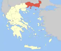 | |
| Regional unit of Evros | ||
| Regional unit of Kavala | ||
| Regional unit of Rhodope | ||
| Regional unit of Thasos | ||
| Regional unit of Xanthi | ||
| ||
This article is issued from Wikipedia. The text is licensed under Creative Commons - Attribution - Sharealike. Additional terms may apply for the media files.