Naliya Air Force Station | |||||||||||
|---|---|---|---|---|---|---|---|---|---|---|---|
 | |||||||||||
| Summary | |||||||||||
| Airport type | Military | ||||||||||
| Operator | Indian Air Force | ||||||||||
| Location | Naliya, Gujarat, India | ||||||||||
| Elevation AMSL | 142 ft / 43 m | ||||||||||
| Coordinates | 23°13′12″N 68°54′00″E / 23.22000°N 68.90000°E | ||||||||||
| Map | |||||||||||
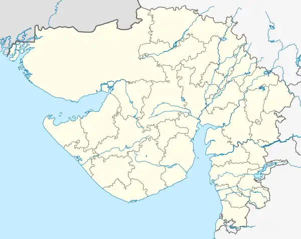
 Naliya AFS  Naliya AFS | |||||||||||
| Runways | |||||||||||
| |||||||||||
Naliya Air Force Station (ICAO: VANY)[1] of the Indian Air Force (IAF) is located in Naliya in Gujarat, India. It is about 90 km from Sir Creek that forms the border with Pakistan. It lies on National Highway 41 or NH 41. It is about 90 km from Bhuj.
History
It is home to No. 101 Squadron IAF in India. It consists of 12 FBSU (Forward Base Supporting units) and MiG-21 Bison. Later it was upgraded to the 49th Wing in 2009.[2]
Facilities
The airbase is situated at an elevation of 21 m (21 metres (69 ft)) above mean sea level. It has one runway with concrete surfaces: 06/24 measuring 9000 by 148 feet (2,743 m x 45 m).
References
- ↑ "Naliya AFS, Air Force Station Naliya".
- ↑ "49 Wing, Indian Air Force - Database". Bharat Rakshak. Retrieved 2021-06-24.
This article is issued from Wikipedia. The text is licensed under Creative Commons - Attribution - Sharealike. Additional terms may apply for the media files.