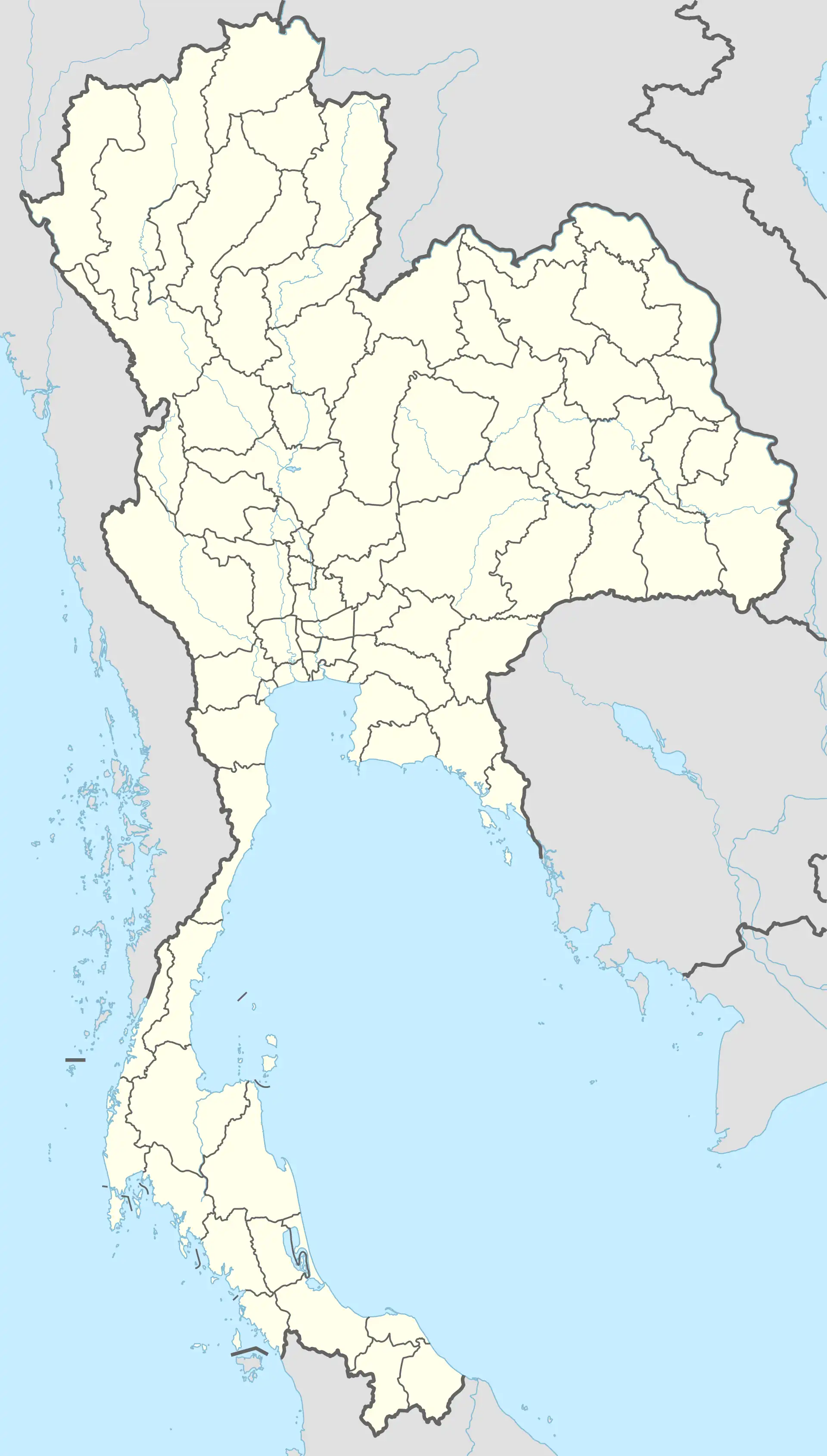
Nong Loeng
หนองเลิง | |
|---|---|
 Seal | |
 Nong Loeng | |
| Coordinates: 18°20′54″N 103°23′54″E / 18.3482°N 103.3982°E | |
| Country | Thailand |
| Province | Bueng Kan |
| District | Mueang Bueng Kan |
| Government | |
| • Type | Subdistrict municipality |
| Area | |
| • Total | 53.7 km2 (20.7 sq mi) |
| Population (2022)[1] | |
| • Total | 8,737 |
| • Density | 163/km2 (420/sq mi) |
| Time zone | UTC+7 (ICT) |
| Postal code | 38000 |
| Calling code | 042 |
| Geocode | 38010500 |
| Website | nongleng-bk |
Nong Loeng (Thai: หนองเลิง) is a subdistrict (tambon) in Mueang Bueng Kan district, in Bueng Kan province, Isan (northeastern Thailand). As of 2022, it had a population of 8,737 people and has jurisdiction over thirteen villages.[1]
History
The subdistrict was created effective on June 26, 1975 by splitting off six administrative villages from Nong Kheng.
Geography
The general topography of Nong Loeng subdistrict is plain and hilly.[2]
Administration
Central government
The administration of Nong Loeng subdistrict (tambon) is responsible for an area that covers 53.7 square kilometres (20.7 sq mi) and consists of thirteen administrative villages (muban).[3]
As of 2022: 8,737 people.[1]
| Village | English | Thai | People |
|---|---|---|---|
| Moo1 | Ban Na Charoen | บ้านาเจริญ | 578 |
| Moo2 | Ban Suk Samran | บ้านสุขสำราญ | 844 |
| Moo3 | Ban Non Manee | บ้านโนนมณี | 260 |
| Moo4 | Ban Nong Loeng | บ้านหนองเลิง | 694 |
| Moo5 | Ban Nong Moo | บ้านหนองหมู | 1,209 |
| Moo6 | Ban Klong Khem | บ้านคลองเค็ม | 829 |
| Moo7 | Ban Na Lom | บ้านนาล้อม | 750 |
| Moo8 | Ban Na Charoen Nuea | บ้านนาเจริญเหนือ | 570 |
| Moo9 | Ban San Sern | บ้านสรรเสริญ | 567 |
| Moo10 | Ban Charoen Samakkhee | บ้านเจริญสามัคคี | 543 |
| Moo11 | Ban Kham Charoen | บ้านคำเจริญ | 618 |
| Moo12 | Ban Non Sa-nga | บ้านโนนสง่า | 794 |
| Moo13 | Ban Na Charoen Klang | บ้านนาเจริญกลาง | 481 |
Local government
Nong Loeng subdistrict municipality (Thai: เทศบาลตำบลหนองเลิง, romanized: thetsaban tambon Nong Loeng) covers the whole Nong Loeng subdistrict.
Temple
Nong Loeng subdistrict is home to the following active temples, where Theravada Buddhism is practised by local residents:[4]
| Temple name | Thai | Location |
|---|---|---|
| Wat Sawang Samran Thammakhun | วัดสว่างสำราญธรรมคุณ | Moo1 |
| Wat Samai Samran | วัดสมัยสำราญ | Moo3 |
| Wat Si Supwanaram | วัดศรีสุพลวนาราม | Moo4 |
| Wat Charoen Sangvara Bumrungrad | วัดเจริญสังวรบำรุงราษฎร์ | Moo5 |
| Wat Si Sumangkalaram | วัดศรีสุมังคลาราม | Moo5 |
| Wat Sawang Arom | วัดส่วางอารมณ์ | Moo6 |
| Wat Thepnimit Mahawilai | วัดเทพนิมิตมหาวิลัย | Moo6 |
| Wat Koh Kaew Wanaram | วัดเกาะแก้ววนาราม | Moo9 |
| Wat Pracha Samakkheetham | วัดประชาสามัคคีธรรม | Moo10 |
References
- 1 2 3 "Official statistics registration system". Department of Provincial Administration. Retrieved 8 August 2023, year 2022 >village level >ExcelFile >no.38010500 >Excel line 34558-34571
{{cite web}}: CS1 maint: postscript (link) - ↑ "contact territory". Retrieved 8 August 2023.
- ↑ "general condition" (in Thai). Retrieved 8 August 2023, >Area size
{{cite web}}: CS1 maint: postscript (link) - ↑ "list of temples". Retrieved 8 August 2023.