Puyehue | |
|---|---|
|
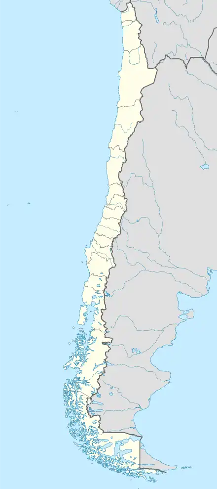
 Location of Puyehue communes in Los Lagos Region  Puyehue Location in Chile | |
| Coordinates: 40°41′S 72°36′W / 40.683°S 72.600°W | |
| Country | Chile |
| Region | Los Lagos |
| Province | Osorno |
| Founded | November 5, 1971 |
| Government | |
| • Type | Municipality |
| • Alcalde | Maria Jimena Núñez Morales (RN) |
| Area | |
| • Total | 1,597.9 km2 (617.0 sq mi) |
| Population (2002 Census)[2] | |
| • Total | 11,368 |
| • Density | 7.1/km2 (18/sq mi) |
| • Urban | 3,932 |
| • Rural | 7,436 |
| Sex | |
| • Men | 6,008 |
| • Women | 5,360 |
| Time zone | UTC-4 (CLT[3]) |
| • Summer (DST) | UTC-3 (CLST[4]) |
| Area code | 56 + |
| Website | Municipality of Puyehue |
Puyehue (Spanish pronunciation: [puˈʝewe]) is a commune in Chile located in Osorno Province of Los Lagos Region. It is bordered to the south by Rupanco Lake, to the east by the Andes and Argentina, to the north by Puyehue Lake and to the west by Osorno commune. Cardenal Antonio Samoré Pass that links the Los Lagos Region to Argentina lies in the eastern tip of the commune. The comune is administered by Entre Lagos, the main town in Puyehue.
Demographics
According to the 2002 census of the National Statistics Institute, Puyehue spans an area of 1,597.9 km2 (617 sq mi) and has 11,368 inhabitants (6,008 men and 5,360 women). Of these, 3,932 (34.6%) lived in urban areas and 7,436 (65.4%) in rural areas. The population grew by 1.4% (161 persons) between the 1992 and 2002 censuses.[2]
Administration
As a commune, Puyehue is a third-level administrative division of Chile administered by a municipal council, headed by an alcalde who is directly elected every four years.[1]
Within the electoral divisions of Chile, Puyehue is represented in the Chamber of Deputies by Fidel Espinoza (PS) and Carlos Recondo (UDI) as part of the 56th electoral district, together with Río Negro, Purranque, Puerto Octay, Fresia, Frutillar, Llanquihue, Puerto Varas and Los Muermos. The commune is represented in the Senate by Camilo Escalona Medina (PS) and Carlos Kuschel Silva (RN) as part of the 17th senatorial constituency (Los Lagos Region).

References
- 1 2 "Municipality of Puyehue" (in Spanish). Archived from the original on 8 August 2010. Retrieved 13 December 2010.
- 1 2 3 4 "National Statistics Institute" (in Spanish). Retrieved 13 December 2010.
- ↑ "Chile Time". WorldTimeZones.org. Archived from the original on 13 July 2010. Retrieved 26 September 2010.
- ↑ "Chile Summer Time". WorldTimeZones.org. Archived from the original on 11 September 2007. Retrieved 26 September 2010.
External links
- (in Spanish) Municipality of Puyehue
