Rabbit Hash Historic District | |
 | |
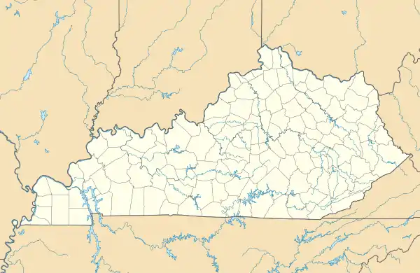  | |
| Location | 10021–10410 Lower River Rd., Rabbit Hash, Kentucky |
|---|---|
| Coordinates | 38°56′32″N 84°50′45″W / 38.94222°N 84.84583°W |
| Area | 33 acres (13 ha) |
| MPS | Boone County, Kentucky MPS |
| NRHP reference No. | 03001231[1] |
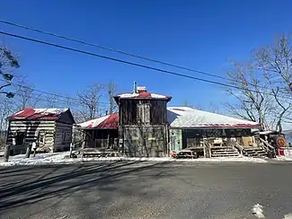
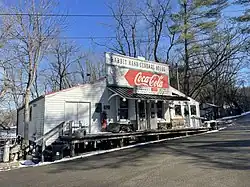
A few buildings in the Rabbit Hash Historic District along the banks of the Ohio River in late 2022.
The Rabbit Hash Historic District in Rabbit Hash, Kentucky was added to the National Register of Historic Places on December 4, 2003. It includes 330 acres (1.3 km2), 12 buildings, 6 structures, and 3 objects around 10021-10410 Lower River Rd.[2][3] The Rabbit Hash General Store, one of the addresses in the District, had already been listed since February 2, 1989.[1]
References
- 1 2 "National Register Information System". National Register of Historic Places. National Park Service. July 9, 2010.
- ↑ "National Register of Historic Places Listings December 12, 2003". National Park Service. Retrieved August 24, 2008.
- ↑ "KENTUCKY - Boone County - Historic Districts". Retrieved August 24, 2008.
External links
- "Rabbit Hash," Chronicles of Boone County, Boone County Public Library (KY)
| Topics | |
|---|---|
| Lists by state |
|
| Lists by insular areas | |
| Lists by associated state | |
| Other areas | |
| Related | |
This article is issued from Wikipedia. The text is licensed under Creative Commons - Attribution - Sharealike. Additional terms may apply for the media files.