| Razorback Mountain | |
|---|---|
 Razorback Mountain Location in Alberta and British Columbia 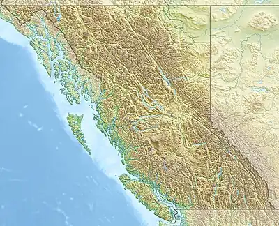 Razorback Mountain Razorback Mountain (British Columbia) | |
| Highest point | |
| Elevation | 2,605 m (8,547 ft)[1] |
| Prominence | 177 m (581 ft) |
| Listing | |
| Coordinates | 52°58′42″N 118°44′22″W / 52.97833°N 118.73944°W |
| Geography | |
| Location | Alberta British Columbia |
| Parent range | Victoria Cross Ranges |
| Topo map | NTS 83D15 Lucerne |
Razorback Mountain is located on the border of Alberta and British Columbia. It was named in 1915 for the narrow ridge on the mountain.[1][2]
See also
References
- 1 2 "Razorback Mountain". cdnrockiesdatabases.ca. Retrieved 2021-06-01.
- ↑ "Razorback Mountain". Bivouac.com. Retrieved 2021-06-01.
External links
This article is issued from Wikipedia. The text is licensed under Creative Commons - Attribution - Sharealike. Additional terms may apply for the media files.