Rogil | |
|---|---|
.jpg.webp) Praia do Vale dos Homens in Rogil | |
 Coat of arms | |
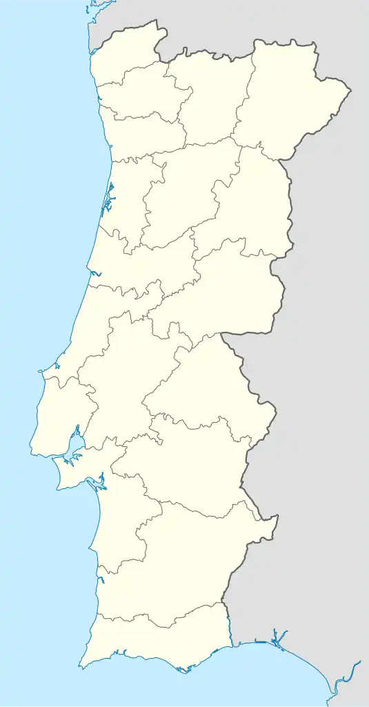 Rogil Location in Portugal | |
| Coordinates: 37°22′08″N 8°48′00″W / 37.369°N 8.800°W | |
| Country | |
| Region | Algarve |
| Intermunic. comm. | Algarve |
| District | Faro |
| Municipality | Aljezur |
| Area | |
| • Total | 34.96 km2 (13.50 sq mi) |
| Population (2011) | |
| • Total | 1,126 |
| • Density | 32/km2 (83/sq mi) |
| Time zone | UTC±00:00 (WET) |
| • Summer (DST) | UTC+01:00 (WEST) |
| Website | Page on CM Aljezur website |
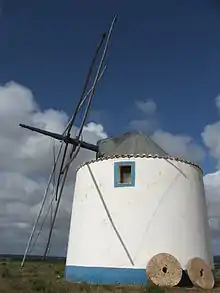
The Moinho de Arregata just south of Rogil village centre
Rogil is a Portuguese civil parish in Aljezur Municipality. It lies within the Southwest Alentejo and Vicentine Coast Natural Park. The population in 2011 was 1,126,[1] in an area of 34.96 km².[2]
The village of Rogil lies on a plateau at about 95 metres above sea level. There is no church listed on the diocesan website.[3]
Adjacent parishes
The parish is bordered by:
- north - Odeceixe
- east - Marmelete
- south - Aljezur
- west - Atlantic Ocean.
References
External links
Wikimedia Commons has media related to Rogil.
This article is issued from Wikipedia. The text is licensed under Creative Commons - Attribution - Sharealike. Additional terms may apply for the media files.