| Rumford | |
|---|---|
.jpg.webp) Nicolton Road, Rumford | |
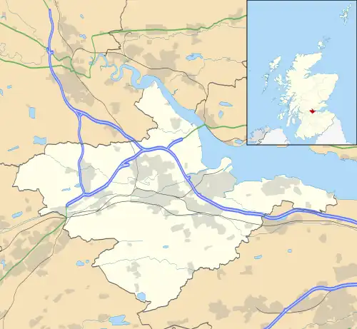
 Rumford Location within the Falkirk council area | |
| Population | 810 (mid-2020 est.)[1] |
| OS grid reference | NS934771 |
| Civil parish |
|
| Council area | |
| Lieutenancy area | |
| Country | Scotland |
| Sovereign state | United Kingdom |
| Post town | FALKIRK |
| Postcode district | FK2 |
| Dialling code | 01324 |
| UK Parliament | |
| Scottish Parliament | |
| Website | falkirk.gov.uk |
Rumford is a small village between Maddiston and Brightons in the Falkirk council area, of Scotland.
The village went through a great deal of expansion in the late 1990s and early 2000s, resulting in the population increasing exponentially since the 1991 census, when it was recorded as around 275 residents.[2] In the 2001 and 2011 censuses, Falkirk Council reported the population as being 421[2] and 884 respectively.[3]
See also
References
- ↑ "Mid-2020 Population Estimates for Settlements and Localities in Scotland". National Records of Scotland. 31 March 2022. Retrieved 31 March 2022.
- 1 2 "Insight 2001 Census, No. 3 - 2001 Census population of wards and settlements" (PDF). Falkirk Council. Retrieved 18 January 2018.
- ↑ "Insight 2011 Census, No. 6 - Settlement Population and Household Estimates" (PDF). Falkirk Council. Retrieved 18 January 2018.
External links
Wikimedia Commons has media related to Rumford, Scotland.
This article is issued from Wikipedia. The text is licensed under Creative Commons - Attribution - Sharealike. Additional terms may apply for the media files.