Santa Flavia | |
|---|---|
| Comune di Santa Flavia | |
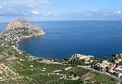
 Panorama of Santa Flavia | |
 Coat of arms | |
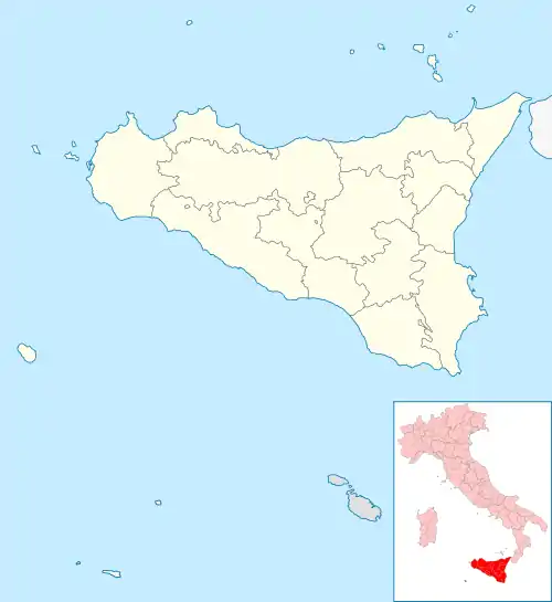
Location of Santa Flavia | |
 Santa Flavia Location of Santa Flavia in Italy  Santa Flavia Santa Flavia (Sicily) | |
| Coordinates: 38°5′N 13°32′E / 38.083°N 13.533°E | |
| Country | Italy |
| Region | Sicily |
| Metropolitan city | Palermo (PA) |
| Frazioni | Porticello, Sant'Elia, Solanto |
| Government | |
| • Mayor | Salvatore Sanfilippo |
| Area | |
| • Total | 14 km2 (5 sq mi) |
| Elevation | 55 m (180 ft) |
| Population (31 August 2018)[2] | |
| • Total | 11,186 |
| • Density | 800/km2 (2,100/sq mi) |
| Demonym | Flavesi |
| Time zone | UTC+1 (CET) |
| • Summer (DST) | UTC+2 (CEST) |
| Postal code | 90017 |
| Dialing code | 091 |
| ISTAT code | 082067 |
| Patron saint | St. Anne |
| Saint day | 26 July |
| Website | Official website |
Santa Flavia (known as Solunto until 1880) is a town in the Metropolitan City of Palermo, Sicily, southern Italy.
Overview
The town is situated between the Gulf of Palermo and the town and hot springs known as Termini Imerese, on the Tyrrhenian Sea, 15 kilometres (9 mi) east of Palermo. Inside the town are the remains of the ancient city of Soluntum.
The main agricultural product of Santa Flavia is the grapefruit. Additionally, the town, due to its location on the coast is known for its different types of fresh fish. The town caters to tourism, specifically its many seaside resorts.
Twin towns
Wikimedia Commons has media related to Santa Flavia.
References
- ↑ "Superficie di Comuni Province e Regioni italiane al 9 ottobre 2011". Italian National Institute of Statistics. Retrieved 16 March 2019.
- ↑ All demographics and other statistics from the Italian statistical institute (Istat)
This article is issued from Wikipedia. The text is licensed under Creative Commons - Attribution - Sharealike. Additional terms may apply for the media files.