Schöneberg | |
|---|---|
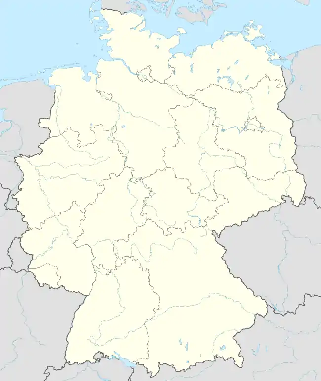
Location of Schöneberg | |
 Schöneberg 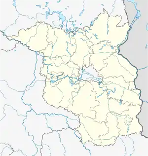 Schöneberg | |
| Coordinates: 53°00′00″N 14°08′00″E / 53.0000°N 14.1333°E | |
| Country | Germany |
| State | Brandenburg |
| District | Uckermark |
| Town | Schwedt |
| Area | |
| • Total | 45.38 km2 (17.52 sq mi) |
| Elevation | 65 m (213 ft) |
| Population (2019-12-31) | |
| • Total | 803 |
| • Density | 18/km2 (46/sq mi) |
| Time zone | UTC+01:00 (CET) |
| • Summer (DST) | UTC+02:00 (CEST) |
| Postal codes | 16278, 16303 |
| Dialling codes | 033338, 033335 |
| Vehicle registration | UM |
| Website | www.amt-oder-welse.de |
Schöneberg is a village and a former municipality in the Uckermark district, in Brandenburg, Germany. Since January 2021 it is part of the city of Schwedt/Oder.
Demography
.pdf.jpg.webp)
Development of population since 1875 within the final boundaries (Blue line: Population; Dotted line: Comparison to population development of Brandenburg state; Grey background: Time of Nazi rule; Red background: Time of communist rule)
|
|
|
References
- ↑ Detailed data sources are to be found in the Wikimedia Commons.Population Projection Brandenburg at Wikimedia Commons
![]() Media related to Schöneberg (Uckermark) at Wikimedia Commons
Media related to Schöneberg (Uckermark) at Wikimedia Commons
This article is issued from Wikipedia. The text is licensed under Creative Commons - Attribution - Sharealike. Additional terms may apply for the media files.