| Sharat Kovakab | |
|---|---|
| حبل كوكب | |
 Two basaltic cones in Sharat Kovakab volcanic field, near Al Hasakah, Syria. The second cone is located in the foreground, lower than the main cone. | |
| Highest point | |
| Elevation | 1,752 feet (534 m)[1] |
| Listing | Volcanoes of Syria |
| Coordinates | 36°32′N 40°51′E / 36.53°N 40.85°E |
| Geography | |
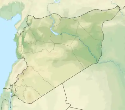
 Sharat Kovakab | |
| Geology | |
| Age of rock | Holocene |
| Mountain type | Volcanic field |
| Last eruption | Unknown |
| Climbing | |
| Easiest route | a small road ascending to the peak[2] |
References
This article is issued from Wikipedia. The text is licensed under Creative Commons - Attribution - Sharealike. Additional terms may apply for the media files.