Stoneywood | |
|---|---|
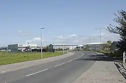
 View of the city's agricultural farms. | |
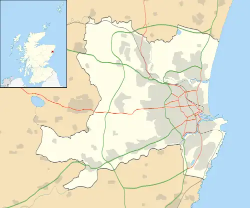
 Stoneywood Location within the Aberdeen City council area | |
| Coordinates: 57°11′27″N 2°11′13″W / 57.1909°N 2.1869822°W | |
| Sovereign State | United Kingdom |
| Country | Scotland |
| Council Area | Aberdeen City |
Stoneywood is a small area of Aberdeen, Scotland, located between Dyce and Bucksburn near Aberdeen Airport. Stoneywood is served by two primary schools and one secondary school, which sits in Bucksburn. The main road running through the suburb is the A947, a north-south two-lane highway linking Aberdeen with Banff on the coast.
References
Wikivoyage has a travel guide for Stoneywood .
This article is issued from Wikipedia. The text is licensed under Creative Commons - Attribution - Sharealike. Additional terms may apply for the media files.
