Sydenham, Durban | |
|---|---|
 Sydenham, Durban  Sydenham, Durban | |
| Coordinates: 29°49′42″S 30°59′40″E / 29.8283°S 30.9944°E | |
| Country | South Africa |
| Province | KwaZulu-Natal |
| Municipality | eThekwini |
| Main Place | Durban |
| Area | |
| • Total | 1.78 km2 (0.69 sq mi) |
| Population (2001)[1] | |
| • Total | 17,835 |
| • Density | 10,000/km2 (26,000/sq mi) |
| Racial makeup (2001) | |
| • Black African | 12.7% |
| • Coloured | 7.3% |
| • Indian/Asian | 79.6% |
| • White | 0.4% |
| First languages (2001) | |
| • Zulu | 9.3% |
| • English | 85.4% |
| • Xhosa | 2.2% |
| • Afrikaans | 0.4% |
| • Other | 2.7% |
| Time zone | UTC+2 (SAST) |
| Postal code (street) | 4091 |
| PO box | n/a |
| Area code | 031 |
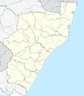
Sydenham is a suburb west of central Durban, South Africa.
Sydenham added to Durban Municipality
Although the municipal area of Durban was quite sizeable, and until 1932 comprised some 12 square miles (31 km2), a number of suburbs developed about its perimeter, and in 1921 village management boards were established at South Coast Junction, Umhlatuzana, Mayville, Sydenham and Greenwood Park.[2]
References
- 1 2 "Sub Place Sydenham". Census 2001.
- ↑ "Durban an Overview | South African History Online". www.sahistory.org.za. Archived from the original on 25 February 2013.
This article is issued from Wikipedia. The text is licensed under Creative Commons - Attribution - Sharealike. Additional terms may apply for the media files.
.svg.png.webp)