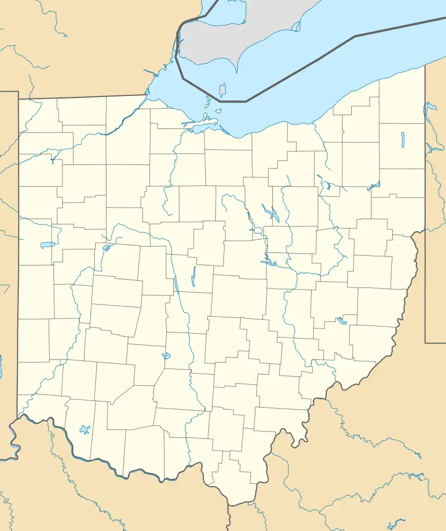
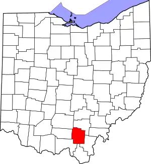
Tom Corwin, Ohio | |
|---|---|
 Tom Corwin, Ohio Location of Tom Corwin, Ohio | |
| Coordinates: 39°05′56″N 82°34′42″W / 39.09889°N 82.57833°W | |
| Country | United States |
| State | Ohio |
| Counties | Jackson |
| Elevation | 784 ft (239 m) |
| Time zone | UTC-5 (Eastern (EST)) |
| • Summer (DST) | UTC-4 (EDT) |
| ZIP code | 45692 |
| Area code | 740 |
| GNIS feature ID | 1049247[1] |
Tom Corwin is an unincorporated community in Coal Township, Jackson County, Ohio, United States. It is located southwest of Wellston on Ohio State Route 788, at 39°05′56″N 82°34′42″W / 39.09889°N 82.57833°W.[2][3]
Tom Corwin was settled as a company town for the Tom Corwin Coal Company, which operated multiple mines in the area and shipped the coal out by means of the nearby Cincinnati, Hamilton & Dayton (CH&D) Railway.[4]
References
- 1 2 "US Board on Geographic Names". United States Geological Survey. 2007-10-25. Retrieved 2020-01-05.
- ↑ U.S. Geological Survey Geographic Names Information System: Tom Corwin, Ohio
- ↑ Rand McNally. The Road Atlas '06. Chicago: Rand McNally, 2006, 78.
- ↑ Annual Mine Report, Volume 20, Industrial Commission of Ohio, Dept. of Inspection, Division of Mines, 1895, Pg. 138.
This article is issued from Wikipedia. The text is licensed under Creative Commons - Attribution - Sharealike. Additional terms may apply for the media files.
