Tuřice | |
|---|---|
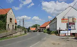 Main street | |
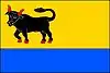 Flag 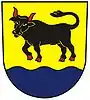 Coat of arms | |
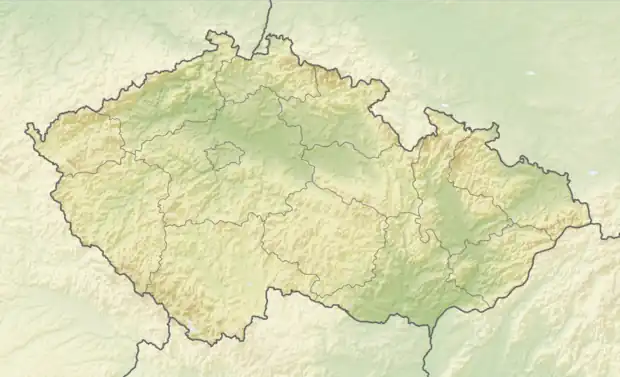 Tuřice Location in the Czech Republic | |
| Coordinates: 50°14′56″N 14°46′9″E / 50.24889°N 14.76917°E | |
| Country | |
| Region | Central Bohemian |
| District | Mladá Boleslav |
| First mentioned | 1194 |
| Area | |
| • Total | 4.83 km2 (1.86 sq mi) |
| Elevation | 190 m (620 ft) |
| Population (2023-01-01)[1] | |
| • Total | 468 |
| • Density | 97/km2 (250/sq mi) |
| Time zone | UTC+1 (CET) |
| • Summer (DST) | UTC+2 (CEST) |
| Postal code | 294 74 |
| Website | www |
Tuřice is a municipality and village in Mladá Boleslav District in the Central Bohemian Region of the Czech Republic. It has about 500 inhabitants.
Administrative parts
The village of Sobětuchy is an administrative part of Tuřice.
Geography
Tuřice is located about 22 kilometres (14 mi) northeast of Prague. It lies in a flat landscape in the Jizera Table. The municipality is situated on the right bank of the Jizera River, which forms the eastern municipal border.
History
The first written mention of Tuřice is from 1194. Sobětuchy was first mentioned in 1488. From the 14th century until establishment of a sovereign municipality in 1850, the area was part of the Brandýs estate and shared its owners and destiny.[2]
Transport
The D10 motorway passes through the municipality.
Sights
There are no cultural monuments in the municipality.[3]
References
- ↑ "Population of Municipalities – 1 January 2023". Czech Statistical Office. 2023-05-23.
- ↑ "Historie" (in Czech). Obec Tuřice. Retrieved 2023-02-08.
- ↑ "Výsledky vyhledávání: okres Mladá Boleslav". Ústřední seznam kulturních památek (in Czech). National Heritage Institute. Retrieved 2023-02-08.