| Unkervatnet (Norwegian) Åanghkejaevrie (Southern Sami) | |
|---|---|
 Unkervatnet Location of the lake  Unkervatnet Unkervatnet (Norway) | |
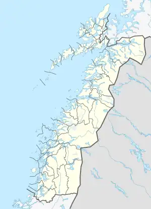
| Location | Hattfjelldal, Nordland |
| Coordinates | 65°30′35″N 14°11′04″E / 65.5098°N 14.1845°E |
| Primary inflows | Skardmodalselva river |
| Primary outflows | Unkerelva river |
| Catchment area | Vefsna |
| Basin countries | Norway |
| Max. length | 8 kilometres (5.0 mi) |
| Max. width | 2.5 kilometres (1.6 mi) |
| Surface area | 14.3 km2 (5.5 sq mi) |
| Shore length1 | 24.95 kilometres (15.50 mi) |
| Surface elevation | 321 metres (1,053 ft) |
| References | NVE |
| 1 Shore length is not a well-defined measure. | |
Unkervatnet (Norwegian) or Åanghkejaevrie (Southern Sami) is a lake in the municipality of Hattfjelldal in Nordland county, Norway. It is a good lake for fishing lake trout and Arctic char both during summer and winter. The river flowing into the lake from the east is called Skarmodalselva, and the outflowing river is called Unkerelva (which itself flows into the river Vefsna). For tourists, there are two places available by the shoreside: Ørnes camping at the eastern end of the lake, and Tjolmen, situated on the north side of the lake's middle. The road from the village of Hattfjelldal to the village of Dikanäs in Sweden runs along the north side of the lake.[1]
See also
References
- ↑ Store norske leksikon. "Unkervatnet" (in Norwegian). Retrieved 2011-11-16.
This article is issued from Wikipedia. The text is licensed under Creative Commons - Attribution - Sharealike. Additional terms may apply for the media files.