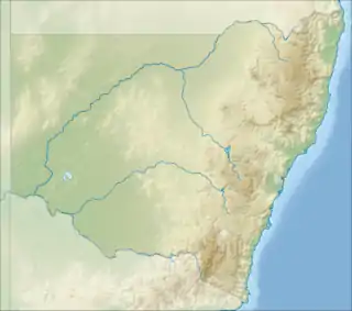
| Warrabah National Park New South Wales | |
|---|---|
 Warrabah National Park, September 2016 | |
 Warrabah National Park | |
| Nearest town or city | Kingstown |
| Coordinates | 30°32′42″S 150°56′46″E / 30.54500°S 150.94611°E |
| Established | 1984 |
| Area | 34.71 km2 (13.4 sq mi) |
| Managing authorities | NSW National Parks and Wildlife Service |
| Website | Warrabah National Park |
| See also | Protected areas of New South Wales |
Warrabah is a national park in New South Wales, Australia, 371 km (231 mi) north of Sydney. It is situated west of Kingstown and east of Split Rock Dam.
The major feature of the park is the Namoi River which carves a 15 km (9.3 mi) gorge that drops 245 m (804 ft). Activities in the park include canoeing, li-loing, rock climbing and bush walking. The average elevation of the terrain is 759 metres.[1]
Over 120 bird species have been spotted here. Among others there are robins, rosellas and cockatoos to wedge-tailed eagles and wrens.[2]
See also
References
- ↑ "Warrabah National Park topographic map, elevation, relief". topographic-map.com. Retrieved 7 January 2022.
- ↑ "Warrabah National Park | Learn more". NSW National Parks. Retrieved 6 January 2022.
This article is issued from Wikipedia. The text is licensed under Creative Commons - Attribution - Sharealike. Additional terms may apply for the media files.