San Martín Airport Aeropuerto San Martín | |||||||||||||||
|---|---|---|---|---|---|---|---|---|---|---|---|---|---|---|---|
| Summary | |||||||||||||||
| Airport type | Public | ||||||||||||||
| Serves | San Martín, Argentina | ||||||||||||||
| Elevation AMSL | 2,142 ft / 653 m | ||||||||||||||
| Coordinates | 33°3′45″S 68°30′30″W / 33.06250°S 68.50833°W | ||||||||||||||
| Map | |||||||||||||||
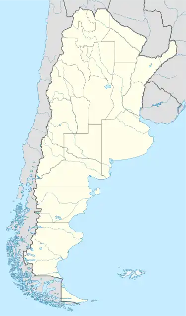
 SAMI Location of San Martín Airport in Argentina | |||||||||||||||
| Runways | |||||||||||||||
| |||||||||||||||
San Martín Airport (Spanish: Aeropuerto San Martín, ICAO: SAMI) is a public use airport located 4 kilometres (2 mi) northwest of San Martín, a city in the Mendoza Province of Argentina.
Runway length includes a 300 metres (980 ft) displaced threshold and a 110 metres (360 ft) paved overrun on Runway 03. Runway 22 has an additional 450 metres (1,480 ft) of unpaved overrun. There are power lines short of Runway 03.[2]
The El Plumerillo non-directional beacon (Ident: D) is located 18.9 nautical miles (35 km) northwest of San Martín Airport. The Mendoza VOR-DME (Ident: DOZ) is located 19.8 nautical miles (37 km) northwest of the airport.[4][5]
See also
References
- ↑ Airport record for San Martín Airport at Landings.com. Retrieved 2 September 2013
- 1 2 "San Martín Airport". Google Maps. Google. Retrieved 22 April 2019.
- ↑ Airport information for San Martín Airport at Great Circle Mapper.
- ↑ "El Plumerillo NDB". Our Airports. Retrieved 22 April 2019.
- ↑ "Mendoza VOR". Our Airports. Retrieved 22 April 2019.
External links
- OpenStreetMap - San Martín Airport
- OurAirports - San Martín Airport
- FallingRain - San Martin Airport
This article is issued from Wikipedia. The text is licensed under Creative Commons - Attribution - Sharealike. Additional terms may apply for the media files.