Tandil Airport (Héroes de Malvinas Airport) Aeropuerto de Tandil | |||||||||||
|---|---|---|---|---|---|---|---|---|---|---|---|
| Summary | |||||||||||
| Airport type | Public / military | ||||||||||
| Operator | Government and Air Force | ||||||||||
| Serves | Tandil, Argentina | ||||||||||
| Elevation AMSL | 576 ft / 176 m | ||||||||||
| Coordinates | 37°14′00″S 59°13′45″W / 37.23333°S 59.22917°W | ||||||||||
| Map | |||||||||||
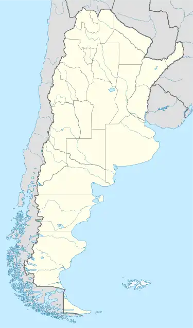
 TDL Location of the airport in Argentina | |||||||||||
| Runways | |||||||||||
| |||||||||||
Tandil Airport (Spanish: Aeropuerto Tandil, IATA: TDL, ICAO: SAZT) is an airport serving the city of Tandil, in the Buenos Aires Province of Argentina. The airport is 11 kilometres (7 mi) northwest of the city.
Its area is 513 hectares (1,270 acres), and it has a passenger terminal of 2,500 square metres (27,000 sq ft). Most flights are for military training.
Runway length does not include 300-metre (980 ft) asphalt overruns on each end of the runway. The Tandil VOR-DME (Ident: DIL) and non-directional beacon (Ident: D) are located on the field.[4][5]
See also
References
- ↑ Airport record for Aeropuerto Tandil at Landings.com. Retrieved 23 August 2013
- ↑ Google (23 August 2013). "location of Aeropuerto Tandil" (Map). Google Maps. Google. Retrieved 23 August 2013.
- ↑ "Heroes De Malvinas Airport". SkyVector. Retrieved 19 April 2019.
- ↑ "Tandil NDB". Our Airports. Retrieved 19 April 2019.
- ↑ "Tandil VOR". Our Airports. Retrieved 19 April 2019.
External links
- OpenStreetMap - Heroes De Malvinas Airport
- FallingRain - Tandil Airport
- Accident history for TDL at Aviation Safety Network
- Current weather for SAZT at NOAA/NWS
This article is issued from Wikipedia. The text is licensed under Creative Commons - Attribution - Sharealike. Additional terms may apply for the media files.