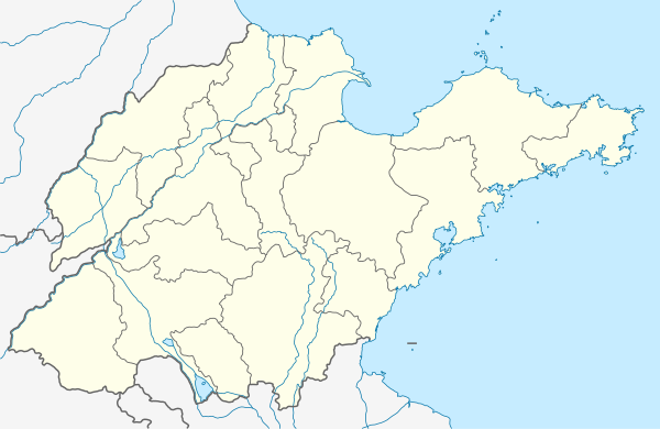
Shizhong
市中区 | |||||||||||||||||||||||||||||
|---|---|---|---|---|---|---|---|---|---|---|---|---|---|---|---|---|---|---|---|---|---|---|---|---|---|---|---|---|---|
 | |||||||||||||||||||||||||||||
 Shizhong Location in Shandong | |||||||||||||||||||||||||||||
| Coordinates: 36°39′10″N 116°59′51″E / 36.6528°N 116.9974°E[1] | |||||||||||||||||||||||||||||
| Country | People's Republic of China | ||||||||||||||||||||||||||||
| Province | Shandong | ||||||||||||||||||||||||||||
| Sub-provincial city | Jinan | ||||||||||||||||||||||||||||
| Area | |||||||||||||||||||||||||||||
| • Total | 374 km2 (144 sq mi) | ||||||||||||||||||||||||||||
| Population (2020 census)[3] | |||||||||||||||||||||||||||||
| • Total | 903,714 | ||||||||||||||||||||||||||||
| • Density | 2,400/km2 (6,300/sq mi) | ||||||||||||||||||||||||||||
| Time zone | UTC+8 (China Standard) | ||||||||||||||||||||||||||||
| Postal code | 250002 | ||||||||||||||||||||||||||||
| Jinan district map |
| ||||||||||||||||||||||||||||
Shizhong District (simplified Chinese: 市中区; traditional Chinese: 市中區; pinyin: Shìzhōng Qū) is one of 10 urban districts of the prefecture-level city of Jinan, the capital of Shandong Province, East China, forming part of the city's urban core. It is located to the southwest of the historical city center. It borders the districts of Tianqiao to the north, Lixia to the northeast, Licheng to the east and southeast, Changqing to the southwest, and Huaiyin to the northwest.
The population in 2020 was 903,714.[4]
Administrative divisions
| 17 subdistricts | 街道办事处 |
|---|---|
| Ganshiqiao Subdistricts | 杆石桥街道办事处 |
| Weijiazhaung Subdistricts | 魏家庄街道办事处 |
| Daguanyuan Subdistricts | 大观园街道办事处 |
| Luoyuan Subdistricts | 泺源街道办事处 |
| Silicun Subdistricts | 四里村街道办事处 |
| Liulishan Subdistricts | 六里山街道办事处 |
| Qilishan Subdistricts | 七里山街道办事处 |
| Shunyulu Subdistricts | 舜玉路街道办事处 |
| Shungeng Subdistricts | 舜耕街道办事处 |
| Erqixincun Subdistricts | 二七新村街道办事处 |
| Baimashan Subdistricts | 白马山街道办事处 |
| Wangguanzhuang Subdistricts | 王官庄街道办事处 |
| Qixian Subdistricts | 七贤街道办事处 |
| Xinglong Subdistricts | 兴隆街道办事处 |
| Shiliulihe Subdistricts | 十六里河街道办事处 |
| Dangjia Subdistricts | 党家街道办事处 |
| Dougou Subdistricts | 陡沟街道办事处 |
References
- ↑ Google (2014-07-02). "Ganshiqiao Subdistrict Office" (Map). Google Maps. Google. Retrieved 2014-07-02.
- ↑ 最新人口信息 www.hongheiku.com (in Chinese). hongheiku. Retrieved 2021-01-12.
- ↑ 最新人口信息 www.hongheiku.com (in Chinese). hongheiku. Retrieved 2021-01-12.
- ↑ "China: Shāndōng (Prefectures, Cities, Districts and Counties) - Population Statistics, Charts and Map". www.citypopulation.de. Retrieved 2024-01-17.
External links
This article is issued from Wikipedia. The text is licensed under Creative Commons - Attribution - Sharealike. Additional terms may apply for the media files.
