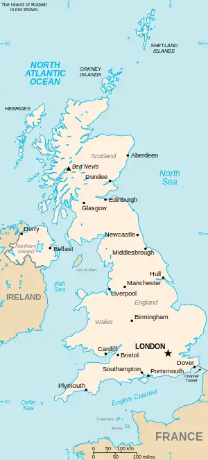
The United Kingdom
This is part of the list of United Kingdom locations: a gazetteer of place names in the United Kingdom showing each place's locality and geographical coordinates.
Be
Bea
Beb–Bed
Bee
Bef–Beh
| Location | Locality | Coordinates (links to map & photo sources) |
OS grid reference |
| Beffcote | Staffordshire | 52°46′N 2°17′W / 52.76°N 02.29°W | SJ8019 |
| Began | Caerdydd (Cardiff) | 51°32′N 3°07′W / 51.54°N 03.12°W | ST2283 |
| Begbroke | Oxfordshire | 51°49′N 1°19′W / 51.81°N 01.31°W | SP4713 |
| Begdale | Cambridgeshire | 52°38′N 0°08′E / 52.63°N 00.14°E | TF4506 |
| Begelly | Pembrokeshire | 51°44′N 4°44′W / 51.73°N 04.73°W | SN1107 |
| Beggar Hill | Essex | 51°41′N 0°21′E / 51.68°N 00.35°E | TL6301 |
| Beggarington | Kirklees | 53°42′N 1°43′W / 53.70°N 01.72°W | SE1823 |
| Beggarington Hill | City of Leeds | 53°43′N 1°35′W / 53.71°N 01.59°W | SE2724 |
| Beggars Ash | Herefordshire | 52°02′N 2°26′W / 52.04°N 02.43°W | SO7039 |
| Beggars Bush | West Sussex | 50°51′N 0°21′W / 50.85°N 00.35°W | TQ1607 |
| Beggars Pound | The Vale Of Glamorgan | 51°24′N 3°25′W / 51.40°N 03.42°W | ST0168 |
| Beggearn Huish | Somerset | 51°08′N 3°22′W / 51.14°N 03.37°W | ST0439 |
| Beguildy | Powys | 52°24′N 3°11′W / 52.40°N 03.19°W | SO1979 |
Bei–Bel
Bem
| Location | Locality | Coordinates (links to map & photo sources) |
OS grid reference |
| Bembridge | Isle of Wight | 50°40′N 1°05′W / 50.67°N 01.09°W | SZ6487 |
| Bemersyde | Scottish Borders | 55°35′N 2°39′W / 55.58°N 02.65°W | NT5933 |
| Bemerton | Wiltshire | 51°04′N 1°50′W / 51.06°N 01.83°W | SU1230 |
| Bemerton Heath | Wiltshire | 51°04′N 1°50′W / 51.07°N 01.83°W | SU1231 |
| Bempton | East Riding of Yorkshire | 54°08′N 0°11′W / 54.13°N 00.18°W | TA1972 |
This article is issued from Wikipedia. The text is licensed under Creative Commons - Attribution - Sharealike. Additional terms may apply for the media files.