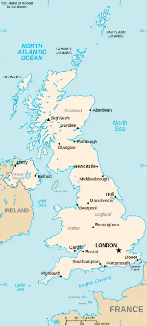
The United Kingdom
This is part of the list of United Kingdom locations: a gazetteer of place names in the United Kingdom showing each place's locality and geographical coordinates.
Daa-Dai
Dal
Dam
| Location | Locality | Coordinates (links to map & photo sources) |
OS grid reference |
| Damask Green | Hertfordshire | 51°56′N 0°11′W / 51.94°N 00.18°W | TL2529 |
| Damems | Bradford | 53°50′N 1°56′W / 53.84°N 01.94°W | SE0439 |
| Damerham | Hampshire | 50°56′N 1°51′W / 50.93°N 01.85°W | SU1015 |
| Damery | South Gloucestershire | 51°38′N 2°26′W / 51.64°N 02.43°W | ST7094 |
| Damgate (Martham) | Norfolk | 52°43′N 1°37′E / 52.71°N 01.62°E | TG4519 |
| Damgate (Acle) | Norfolk | 52°37′N 1°32′E / 52.62°N 01.54°E | TG4009 |
| Dam Green | Norfolk | 52°25′N 1°01′E / 52.42°N 01.01°E | TM0585 |
| Dam Head | Calderdale | 53°44′N 1°50′W / 53.73°N 01.84°W | SE1027 |
| Damhead | Aberdeenshire | 57°19′N 2°27′W / 57.32°N 02.45°W | NJ7326 |
| Damhead Holdings | Midlothian | 55°53′N 3°12′W / 55.88°N 03.20°W | NT2566 |
| Dam Mill | Staffordshire | 52°37′N 2°10′W / 52.61°N 02.17°W | SJ8802 |
| Damsay | Orkney Islands | 59°00′N 3°04′W / 59.00°N 03.06°W | HY389139 |
| Damside | Scottish Borders | 55°43′N 3°20′W / 55.71°N 03.33°W | NT1648 |
| Dam Side | Lancashire | 53°55′N 2°55′W / 53.92°N 02.91°W | SD4048 |
This article is issued from Wikipedia. The text is licensed under Creative Commons - Attribution - Sharealike. Additional terms may apply for the media files.