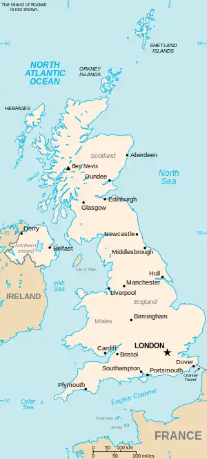
The United Kingdom
This is part of the list of United Kingdom locations: a gazetteer of place names in the United Kingdom showing each place's locality and geographical coordinates.
Em
En
Eo
| Location | Locality | Coordinates (links to map & photo sources) |
OS grid reference |
| Eoligarry | Western Isles | 57°02′N 7°26′W / 57.03°N 07.44°W | NF7007 |
| Eoropaidh | Western Isles | 58°30′N 6°16′W / 58.50°N 06.27°W | NB5165 |
| Eorsa | Argyll and Bute | 56°28′N 6°05′W / 56.46°N 06.08°W | NM482375 |
Ep
| Location | Locality | Coordinates (links to map & photo sources) |
OS grid reference |
| Epney | Gloucestershire | 51°47′N 2°20′W / 51.79°N 02.34°W | SO7611 |
| Epperstone | Nottinghamshire | 53°01′N 1°02′W / 53.02°N 01.03°W | SK6548 |
| Epping | Essex | 51°41′N 0°05′E / 51.69°N 00.09°E | TL4502 |
| Epping Green | Essex | 51°43′N 0°04′E / 51.72°N 00.06°E | TL4305 |
| Epping Green | Hertfordshire | 51°44′N 0°08′W / 51.73°N 00.13°W | TL2906 |
| Epping Upland | Essex | 51°43′N 0°05′E / 51.71°N 00.08°E | TL4404 |
| Eppleby | North Yorkshire | 54°31′N 1°44′W / 54.51°N 01.73°W | NZ1713 |
| Eppleworth | East Riding of Yorkshire | 53°46′N 0°28′W / 53.76°N 00.46°W | TA0131 |
| Epsom | Surrey | 51°19′N 0°16′W / 51.32°N 00.27°W | TQ2060 |
| Epwell | Oxfordshire | 52°03′N 1°29′W / 52.05°N 01.49°W | SP3540 |
| Epworth | North Lincolnshire | 53°31′N 0°49′W / 53.51°N 00.82°W | SE7803 |
| Epworth Turbary | North Lincolnshire | 53°31′N 0°51′W / 53.51°N 00.85°W | SE7603 |
Er
Es
Et
Eu
| Location | Locality | Coordinates (links to map & photo sources) |
OS grid reference |
| Eudon Burnell | Shropshire | 52°29′N 2°27′W / 52.49°N 02.45°W | SO6989 |
| Eudon George | Shropshire | 52°29′N 2°28′W / 52.48°N 02.47°W | SO6888 |
| Euston | Suffolk | 52°22′N 0°46′E / 52.37°N 00.77°E | TL8979 |
| Euxton | Lancashire | 53°39′N 2°41′W / 53.65°N 02.68°W | SD5518 |
Ev
Ew
Ex
Ey
This article is issued from Wikipedia. The text is licensed under Creative Commons - Attribution - Sharealike. Additional terms may apply for the media files.